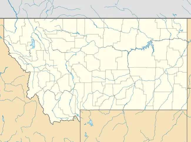
Thoeny, Montana
Thoeny[1] | |
|---|---|
 Thoeny Location of Thoeny in Montana  Thoeny Thoeny (the United States) | |
| Coordinates: 48°52′37″N 106°55′03″W / 48.8769650°N 106.9175536°W | |
| Country | United States |
| State | Montana |
| County | Valley |
| Elevation | 2,480 ft (756 m) |
| Population (2010) | |
| • Total | 0 |
| GNIS feature ID | 777551 |
Thoeny is a ghost town in the northern part of Valley County, Montana, United States, near the Canadian province of Saskatchewan. Thoeny is located north of Hinsdale and west of Opheim. The school house still stands. There is also a cemetery located on the hill.
History
Thoeny was named for its first postmaster, Jacob Thoeny, in 1915. By 1918, the community had two general stores, a newspaper, a blacksmith shop, and several other businesses, all without the benefit of being located near a railroad. A schoolhouse, a cemetery and a few foundations are reminders of the community. Thoeny is located near the Canadian province of Saskatchewan, north of Hinsdale and west of Opheim.[2]

Population
| Year | Population |
|---|---|
| 1920 | 317 [3] |
| 1930 | 127 [3] |
The census district named Barnard was seceded from Thoeny and had a population of 76 in 1930.[3] Thoeny became part of the Hinsdale Rural CCD in the 1940 Census, along with Barnard and Nott.[4]
References
- ↑ U.S. Geological Survey Geographic Names Information System: Thoeny, Montana
- ↑ Ewert, Jolene. "Ghost Towns and History of Montana". Retrieved March 4, 2016.
- 1 2 3 Bureau of the Census, United States of America (1931). Fifteenth census of the United States: 1930. Population, Volume 1, Number and Distribution of Inhabitants. Washington, D.C.: United States Government Printing Office. p. 657. Retrieved May 13, 2016.
- ↑ Bureau of the Census, United States of America (1952). A Report of the Seventeenth Decennial Census of the United States: Census Population 1950: Volume I, Number of Inhabitants. Washington, D.C.: United States Government Printing Office. pp. 26–15. Retrieved May 13, 2016.