| Thornton le Moor | |
|---|---|
 All Saints' Church, Thornton le Moor | |
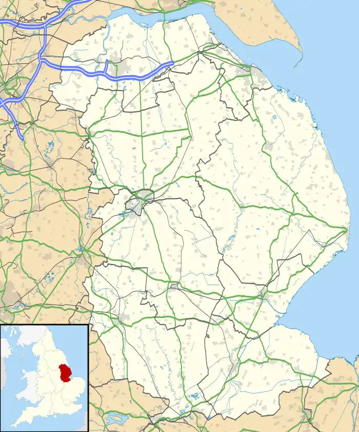
 Thornton le Moor Location within Lincolnshire | |
| OS grid reference | TF050962 |
| • London | 135 mi (217 km) S |
| Civil parish | |
| District | |
| Shire county | |
| Region | |
| Country | England |
| Sovereign state | United Kingdom |
| Post town | Market Rasen |
| Postcode district | LN7 |
| Police | Lincolnshire |
| Fire | Lincolnshire |
| Ambulance | East Midlands |
| UK Parliament | |
Thornton le Moor is a village in the civil parish of Owersby, in the West Lindsey district of Lincolnshire, England, situated approximately 5 miles (8 km) south-west from the town of Caistor. In 1931 the parish had a population of 70.[1] On 1 April 1936 the parish was abolished and merged with Owersby.[2]
Near the village are the remains of the deserted medieval villages of Beasthorpe[3] and Cauthorpe.[4] In the Domesday Book of 1086 Thornton le Moor is written as "Torentone", consisting of eighteen households.[5]
The parish church is dedicated to All Saints and is a Grade II* listed ironstone building dating from the 11th century. It was restored 1871. There is a fragment of an 11th-century limestone cross shaft built into the back of an aumbry in the north wall of the chancel.[6]
References
- ↑ "Population statistics Thornton le Moor AP/CP through time". A Vision of Britain through Time. Retrieved 22 November 2023.
- ↑ "Relationships and changes Thornton le Moor AP/CP through time". A Vision of Britain through Time. Retrieved 22 November 2023.
- ↑ Historic England. "Beasthorpe DMV (892408)". Research records (formerly PastScape). Retrieved 15 July 2011.
- ↑ Historic England. "Cauthorpe DMV (892412)". Research records (formerly PastScape). Retrieved 15 July 2011.
- ↑ "Thornton le Moor". Domesday Map. Anna Powell-Smith/University of Hull. Retrieved 15 July 2011.
- ↑ Historic England. "All Saints, Thornton le Moor (1063439)". National Heritage List for England. Retrieved 15 July 2011.
External links
 Media related to Thornton-le-Moor, Lincolnshire at Wikimedia Commons