Tlaxcoapan | |
|---|---|
Municipality and town | |
 | |
 Seal | |
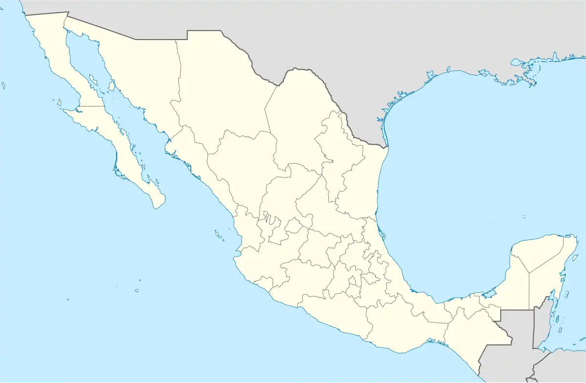 Tlaxcoapan Location in Mexico | |
| Coordinates: 20°05′43″N 99°13′12″W / 20.09528°N 99.22000°W | |
| Country | |
| State | Hidalgo |
| Municipal seat | Tlaxcoapan |
| Area | |
| • Municipality and town | 79.3 km2 (30.6 sq mi) |
| Population (2010 census) | |
| • Municipality and town | 26,758 |
| • Density | 340/km2 (870/sq mi) |
| • Metro | Tula de Allende |
Tlaxcoapan is a town and one of the 84 municipalities of Hidalgo, in central-eastern Mexico. The municipality covers an area of 79.3 km².
As of 2005, the municipality had a total population of 26,758.[1] It is now part of Tula de Allende built-up (or metro) area.
Toponymy
The word Tlanalapa comes from the Nahuatl Tachtli 'ball game', atl 'water' and pan 'on'; so its meaning is "On or in the river of the ball game".[note 1][2][3] Another meaning could be that it decomposes into Tlachco (from tlachtli 'ball game' and the locative -co 'en') 'in the ball game' or literally 'ball game court'; atl 'water', and the locative suffix -pan 'over'; so[4]
Demography
Populated places in Tlaxcoapan
| Town | Population |
| Total | |
| Tlaxcoapan | |
| Doxei |
Notes
- ↑ The etymological origin of the name of a municipality can have
References
- ↑ "Tlaxcoapan". Enciclopedia de los Municipios de México. Instituto Nacional para el Federalismo y el Desarrollo Municipal. Retrieved December 27, 2008.
- ↑ Centro Estatal de Estudios Municipales del Estado de Hidalgo (1988). Los Municipios de Hidalgo. Colección Enciclopedia de los municipios de México. Secretaría de Gobernación.
- ↑ "Tlaxcoapan". Municipios de Hidalgo. Gobierno del estado de Hidalgo. Retrieved 22 March 2017.
- ↑ "Gran Diccionario del Náhuatl - Tlachcho".

This article is issued from Wikipedia. The text is licensed under Creative Commons - Attribution - Sharealike. Additional terms may apply for the media files.