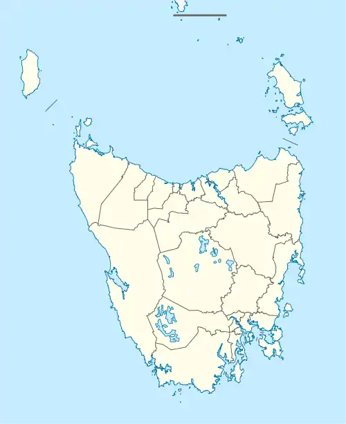
| Tods Corner Tasmania | |||||||||||||||
|---|---|---|---|---|---|---|---|---|---|---|---|---|---|---|---|
 Tods Corner | |||||||||||||||
| Coordinates | 41°58′09″S 146°48′00″E / 41.9692°S 146.8000°E | ||||||||||||||
| Population | 8 (2016 census)[1] | ||||||||||||||
| Postcode(s) | 7030 | ||||||||||||||
| Location | 87 km (54 mi) N of Hamilton | ||||||||||||||
| LGA(s) | Central Highlands | ||||||||||||||
| Region | Central | ||||||||||||||
| State electorate(s) | Lyons | ||||||||||||||
| Federal division(s) | Lyons | ||||||||||||||
| |||||||||||||||
Tods Corner is a rural locality in the local government area of Central Highlands in the Central region of Tasmania. The locality is about 87 kilometres (54 mi) north of the town of Hamilton. The 2016 census has a population of 8 for the state suburb of Tods Corner.[1]
History
Tods Corner is a confirmed suburb/locality. The name has been in use since 1848 (Placenames Tasmania 1357D) and is believed to be that of an early settler.[2]
Geography
The Great Lake forms part of the western boundary. Tods Corner Power Station is in the locality. The adjacent arm of Great Lake is also called Tods Corner.[3]
References
- 1 2 "2016 Census Quick Stats Tods Corner (Tas.)". quickstats.censusdata.abs.gov.au. Australian Bureau of Statistics. 23 October 2017. Retrieved 4 August 2020.
- ↑ "Placenames Tasmania – Tods Corner". Placenames Tasmania. Select “Search”, enter "39202K", click “Search”, select row, map is displayed, click “Details”. Retrieved 4 August 2020.
- ↑ Google (4 August 2020). "Tods Corner, Tasmania" (Map). Google Maps. Google. Retrieved 4 August 2020.
This article is issued from Wikipedia. The text is licensed under Creative Commons - Attribution - Sharealike. Additional terms may apply for the media files.