Turčianske Teplice | |
|---|---|
District | |
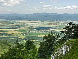
 The Turiec Basin from Drieňok Mountain | |
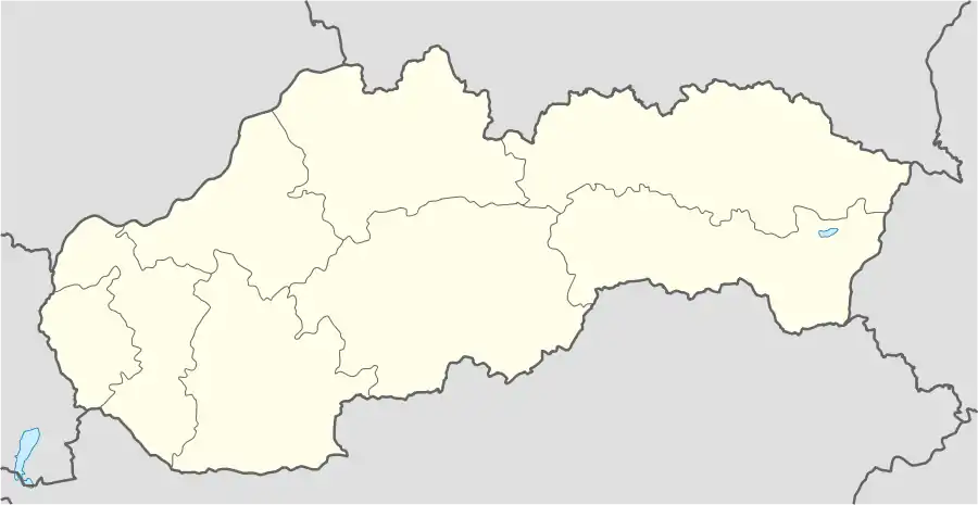
 Turčianske Teplice Location of Turčianske Teplice District in Slovakia | |
| Coordinates: 48°51′49″N 18°51′48″E / 48.86361°N 18.86333°E | |
| Country | Slovakia |
| Region | Žilina |
| Seat | Turčianske Teplice |
| Municipalities | Abramová, Blažovce, Bodorová, Borcová, Brieštie, Budiš, Čremošné, Dubové, Háj, Horná Štubňa, Ivančiná, Jasenovo, Slovakia, Jazernica, Kaľamenová, Liešno, Malý Čepčín, Moškovec, Mošovce, Ondrašová, Rakša, Rudno, Slovakia, Sklené, Turčianske Teplice District, Slovenské Pravno, Turček, Turčianske Teplice, Veľký Čepčín |
| Area | |
| • Total | 392.7 km2 (151.6 sq mi) |
| Population (2005-12-31) | |
| • Total | 16,720 |
| • Density | 43/km2 (110/sq mi) |
| Car plate | TR |
Turčianske Teplice District (okres Turčianske Teplice) is a district in the Žilina Region of central Slovakia. Until 1920, the district was part of Turóc County, Kingdom of Hungary.
Municipalities
External links
This article is issued from Wikipedia. The text is licensed under Creative Commons - Attribution - Sharealike. Additional terms may apply for the media files.