| Tyberton | |
|---|---|
 | |
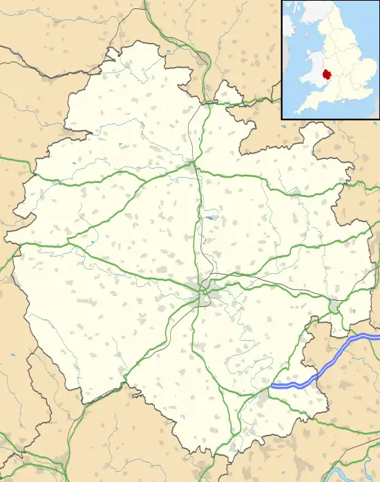
 Tyberton Location within Herefordshire | |
| Area | 9.090 km2 (3.510 sq mi) |
| Population | 178 (2011 census) |
| • Density | 20/km2 (52/sq mi) |
| Civil parish |
|
| Unitary authority | |
| Shire county | |
| Region | |
| Country | England |
| Sovereign state | United Kingdom |
Tyberton or Tiberton[1] is a village and civil parish 8 miles (13 km) west of Hereford,[2] in the county of Herefordshire, England. In 2011 the parish had a population of 178.[3] The parish touches Blakemere, Madley, Peterchurch, Preston on Wye and Vowchurch.[4] Tyberton shares a parish council with Blakemere, Bredwardine, Moccas and Preston-on-Wye called "Wyeside Group Parish Council".[5]
Landmarks
There are 9 listed buildings in Tyberton.[6] Tyberton has a church called St Mary.[7]
History
The name "Tyberton" means 'Tidbeorht's farm/settlement'.[8] Tyberton was recorded in the Domesday Book as Tibrintintune.[9]
References
- ↑ "Tyberton / Tiberton". GENUKI. Retrieved 17 August 2021.
- ↑ "Distance from Tyberton [52.049268, 2.905325]". GENUKI. Retrieved 17 August 2021.
- ↑ "Tyberton". City Population De. Retrieved 17 August 2021.
- ↑ "Tyberton". Ordnance Survey. Retrieved 17 August 2021.
- ↑ "Wyeside Group Parish Council". Herefordshire Council. Retrieved 17 August 2021.
- ↑ "Listed buildings in Tyberton, Herefordshire". British Listed Buildings. Retrieved 17 August 2021.
- ↑ "Tyberton: St Mary". A Church Near You. Retrieved 17 August 2021.
- ↑ "Tyberton Key to English Place-names". The University of Nottingham. Retrieved 17 August 2021.
- ↑ "Herefordshire M-Z and Welsh entries". The Domesday Book Online. Retrieved 17 August 2021.
External links
Wikimedia Commons has media related to Tyberton.
- "Tyberton". British History Online. Retrieved 17 August 2021.
This article is issued from Wikipedia. The text is licensed under Creative Commons - Attribution - Sharealike. Additional terms may apply for the media files.