Umbaúba
Município de Umbaúba | |
|---|---|
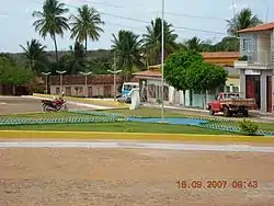 Daniel Teixeira Square, Umbaúba | |
 Flag  Seal | |
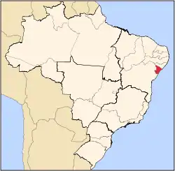
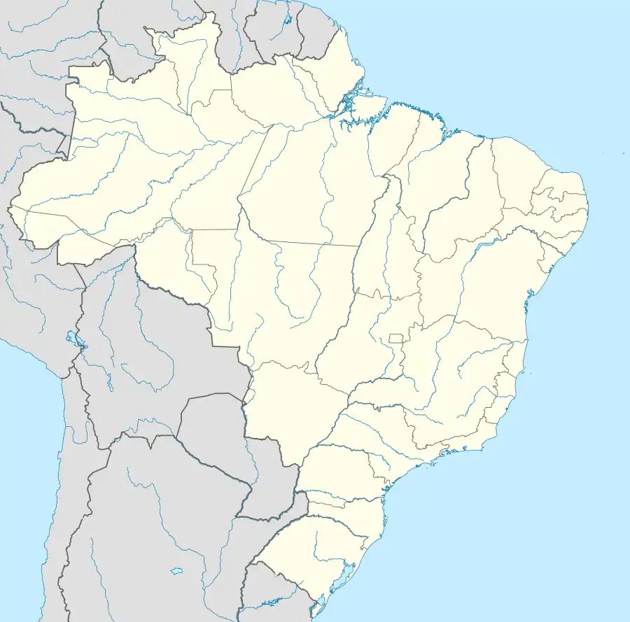 Umbaúba Location of Umbaúba in Brazil | |
| Coordinates: 11°22′58″S 37°39′28″W / 11.38278°S 37.65778°W | |
| Country | |
| Region | Northeast |
| State | |
| Government | |
| • Mayor | Humberto Santos Costa (2017-2020) |
| Area | |
| • Total | 118.86 km2 (45.89 sq mi) |
| Population (2020 [1]) | |
| • Total | 25,550 |
| • Density | 210/km2 (560/sq mi) |
| Demonym | Umbaubense |
| Time zone | UTC−3 (BRT) |
| Website | umbauba |
Umbaúba is a municipality located in the Brazilian state of Sergipe. Its population was 25,550 (2020). Umbaúba covers 118.86 km2 (45.89 sq mi) and has a population density of 210 inhabitants per square kilometer. The municipality is located 95 km (59 mi) from the state capital of Sergipe, Aracaju.[2]
References
Capital: Aracaju | |||||||||||||||
| Agreste Sergipano |
|  | |||||||||||||
| Leste Sergipano |
| ||||||||||||||
| Sertao Sergipano |
| ||||||||||||||
This article is issued from Wikipedia. The text is licensed under Creative Commons - Attribution - Sharealike. Additional terms may apply for the media files.