| Urushizawa Dam | |
|---|---|
 Urushizawa Dam | |
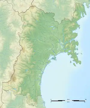
 Location of Urushizawa Dam in Miyagi Prefecture  Urushizawa Dam (Japan) | |
| Official name | 漆沢ダム |
| Location | Kami, Miyagi, Japan |
| Coordinates | 38°34′14.0″N 140°38′29″E / 38.570556°N 140.64139°E |
| Construction began | 1970 |
| Opening date | 1981 |
| Owner(s) | Miyagi Prefecture |
| Dam and spillways | |
| Type of dam | central arch rockfall dam |
| Impounds | Naruse River |
| Height | 80.0 m |
| Length | 310.0 m |
| Dam volume | 2,200,000 m3 |
| Reservoir | |
| Creates | Lake Narugen |
| Total capacity | 18,000,000 m3 |
| Catchment area | 58.9 sq.km |
| Surface area | 83 hectares |
Urushizawa Dam (漆沢ダム, Urushizawa damu) is multi-purpose dam on the Naruse River in the town of Kami, in Miyagi Prefecture, in the Tōhoku region of northern Japan. The dam was completed in 1980.[1] The dam is used for flood control, irrigation, tap water, industrial water, and hydroelectric power generation.
References
External links
![]() Media related to Urushizawa Dam at Wikimedia Commons
Media related to Urushizawa Dam at Wikimedia Commons
This article is issued from Wikipedia. The text is licensed under Creative Commons - Attribution - Sharealike. Additional terms may apply for the media files.