Val Brembilla | |
|---|---|
| Comune di Val Brembilla | |
-Stemma.svg.png.webp) Coat of arms | |
.svg.png.webp) Val Brembilla in Bergamo | |
Location of Val Brembilla | |
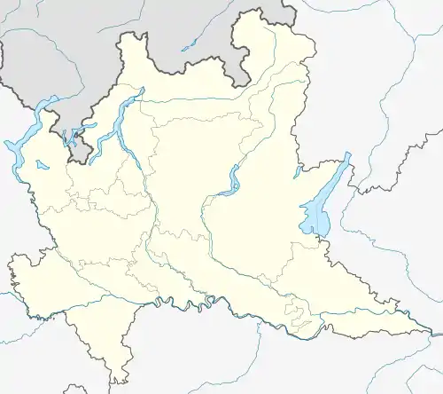
 Val Brembilla Location of Val Brembilla in Italy  Val Brembilla Val Brembilla (Lombardy) | |
| Coordinates: 45°49′N 9°36′E / 45.817°N 9.600°E | |
| Country | Italy |
| Region | Lombardy |
| Province | Province of Bergamo (BG) |
| Frazioni | Sant' Antonio Abbandonato, Brembilla (town hall), Bura, Cadelfoglia, Case Fuori, Castignola, Catremerio, Cavaglia, Camorone, Cerro, Gerosa, Laxolo, Malentrata, San Pietro, Sant'Antonio Torre, Valmoresca, Zardino |
| Government | |
| • Mayor | Damiano Zambelli (Brembilla nel Cuore) |
| Area | |
| • Total | 31.44 km2 (12.14 sq mi) |
| Elevation | 425 m (1,394 ft) |
| Population (2017)[3] | |
| • Total | 4,343 |
| • Density | 140/km2 (360/sq mi) |
| Time zone | UTC+1 (CET) |
| • Summer (DST) | UTC+2 (CEST) |
| Postal code | 24010-24012 |
| Dialing code | 0345 |
| Website | Official website |
| created in 2014 from Brembilla and Gerosa | |

Cadelfoglia, a frazione of Val Brembilla.
Val Brembilla (Bergamasque: Al Brembila) is a comune in the province of Bergamo, in Lombardy. It was established by the regional council on 4 February 2014 from the fusion of the comuni di Brembilla and Gerosa.[4] A referendum to create this comune was held on 1 December 2013.[5] The referendum was passed with 77% yes and 23% no votes. The first municipal elections were held on 25 May 2014.[6]
References
- ↑ ISTAT - Superficie dei comuni, province e regioni al Censimento 2011
- ↑ dato ISTAT
- ↑ Dato Istat
- ↑ Nuovi Comuni in Lombardia, da 22 diventano nove: ecco tutti i nomi
- ↑ "Nuovi Comuni istituiti nel 2014". tuttitalia.it. Retrieved 27 December 2013.
- ↑ Fusione Comuni, 9 nuove amministrazioni al voto il 25 maggio
This article is issued from Wikipedia. The text is licensed under Creative Commons - Attribution - Sharealike. Additional terms may apply for the media files.