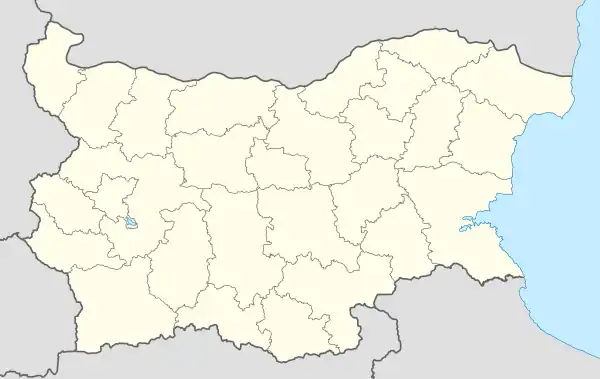
Vitanovtsi is a village in Southern Bulgaria. The village is located in Pernik Municipality, Pernik Province. Аccording to the numbers provided by the 2020 Bulgarian census, Vitanovtsi currently has a population of 268 people with a permanent address registration in the settlement.[1]
Vitanovtsi | |
|---|---|
Village | |
| Vitanovtsi | |
| Coordinates: 42°38′53″N 22°58′48″E / 42.647982°N 22.979896°E | |
| Country | Bulgaria |
| Province | Pernik Province |
| Municipality | Pernik Municipality |
| Area | |
| • Total | 7.336 km2 (2.832 sq mi) |
| Elevation | 692 m (2,270 ft) |
| Population | |
| • Total | 268 |
| Area code | 07719 |
Geography
Vitanovtsi village is located in Pernik Municipality, and lies 8 kilometers northwest of Pernik, and 37 kilometers west of Sofia. The climate is continental with soft winter and cool summer.
The average elevation of the village is 692 meters.
There are three dams near the village - Meshtitsa, Yardzhilovtsi, and Slakovtsi, respectively 5 kilometers and 9 kilometers away from Vitanovtsi.[2]
Infrastructure
There is a supermarket in the village, while the nearest medical help is located at the nearest municipality. There is a new temple “Vsi Sveti” and a football club alongside a stadium.[3]
Ethnicity
According to the Bulgarian population census in 2011.[5]
| Number | Percentage(in %) | |
| Total | 269 | 100.00 |
| Bulgarians | 269 | 100 |
| Turks | 0 | 0 |
| Romani | 0 | 0 |
| Others | 0 | 0 |
| Do not define themselves | 0 | 0 |
| Unanswered | 0 | 0 |
References
- ↑ "Census, Population of Bulgarian Settlements 2020". Grao.BG.
- ↑ "Vitanovtsi". Mirela.
- ↑ "Храм "Вси Светии" - Витановци | Опознай.bg". opoznai.bg (in Bulgarian). Retrieved 2022-01-19.
- ↑ "Регистър на народните читалища -". chitalishta.com. Retrieved 2022-01-19.
- ↑ "Bulgaria population census 2011". Population Stat.
