Wabash, Arkansas | |
|---|---|
 Wabash  Wabash | |
| Coordinates: 34°23′19″N 90°49′43″W / 34.38861°N 90.82861°W | |
| Country | United States |
| State | Arkansas |
| County | Phillips |
| Elevation | 174 ft (53 m) |
| Time zone | UTC-6 (Central (CST)) |
| • Summer (DST) | UTC-5 (CDT) |
| ZIP code | 72389 |
| Area code | 870 |
| GNIS feature ID | 58807[1] |
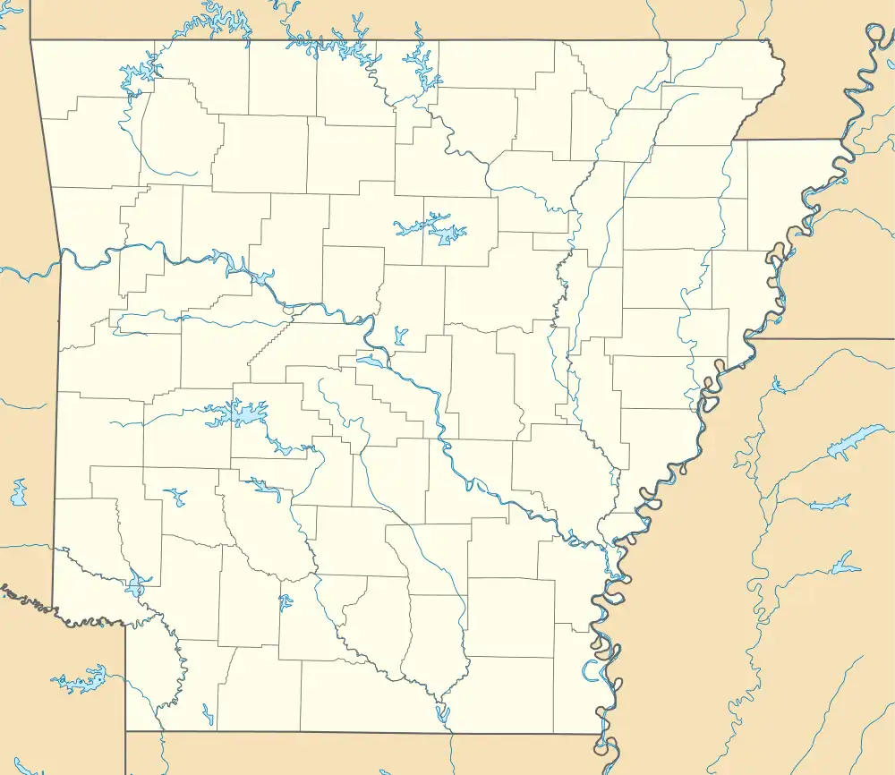
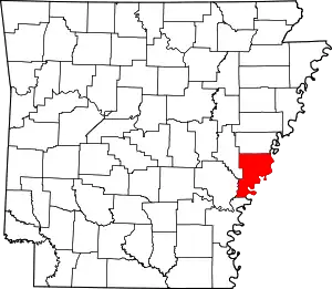
Wabash is an unincorporated community in Phillips County, Arkansas, United States. Wabash is located on Arkansas Highway 44, 2 miles (3.2 km) south-southwest of Lake View. Wabash has a post office with ZIP code 72389.[2]
Landmarks
Wabash, Arkansas is on the edge of Old Town Lake, and within 5 miles of the Arkansas Mississippi River. It's within 20 miles of Freedom Park and Fort Curtis, a Union Army fort during the Civil War.
Demographics
Wabash has a population of 532, among 110 households. The median household income is $83,421 (2021). The unemployment rate is 5.6% (July 2023). The community is 56.77% white and 43.23% Black.[3]
Politics
Wabash, Arkansas is in the 1st US Congressional District, Arkansas State Senate District 62, and Arkansas State House of Representatives District 9.
References
- ↑ U.S. Geological Survey Geographic Names Information System: Wabash, Arkansas
- ↑ ZIP Code Lookup
- ↑ "ZIP Code 72389 - Wabash, Arkansas - Updated August 2023". Zipdatamaps.com. Retrieved August 25, 2023.
