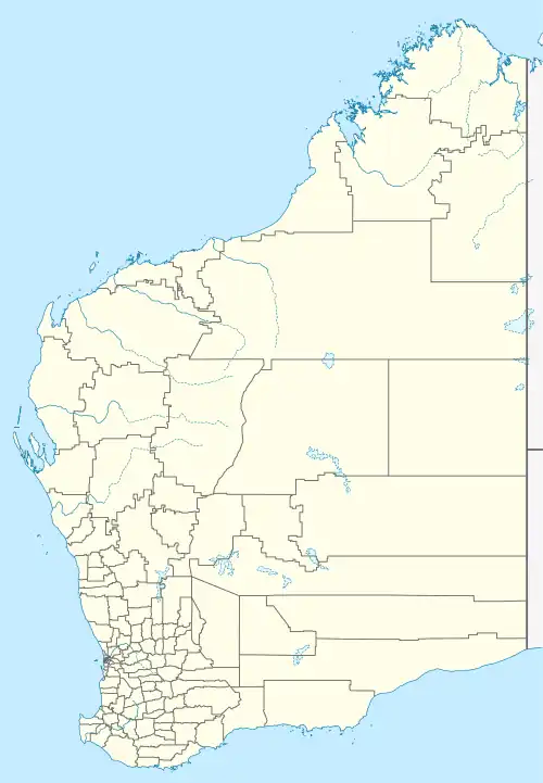
| Warrenup Western Australia | |
|---|---|
 Warrenup | |
| Coordinates | 34°58′32″S 117°50′50″E / 34.97556°S 117.84722°E |
| Population | 800 (2021)[1] |
| • Density | 103/km2 (266/sq mi) |
| Postcode(s) | 6330[2] |
| Area | 7.8 km2 (3.0 sq mi) |
| LGA(s) | City of Albany |
| State electorate(s) | Albany |
| Federal division(s) | O'Connor |
Warrenup is a locality in the Great Southern region of Western Australia.
Part of Warrenup had been part of the land of Hassell family.[3]
Demographics
As of the 2021 Australian census, 800 people resided in Warrenup,[1] up from 701 in the 2016 census.[4] The median age of persons in Warrenup was 43 years. There were fewer males than females, with 49.4% of the population male and 50.6% female. The average household size was 2.9 people per household.[1]
References
- 1 2 3 Australian Bureau of Statistics (28 June 2022). "Warrenup (State Suburb)". 2021 Census QuickStats. Retrieved 7 May 2023.
- ↑ "Warrenup". Australia Post. Retrieved 7 May 2023.
- ↑ "The Kojonup District". Western Mail. Vol. XVII, no. 861. Western Australia. 28 June 1902. p. 6. Retrieved 31 October 2023 – via National Library of Australia.
- ↑ Australian Bureau of Statistics (27 June 2017). "Warrenup (State Suburb)". 2016 Census QuickStats. Retrieved 7 May 2023.
External links
This article is issued from Wikipedia. The text is licensed under Creative Commons - Attribution - Sharealike. Additional terms may apply for the media files.