West Woodward Airport Woodward Army Airfield | |||||||||||||||
|---|---|---|---|---|---|---|---|---|---|---|---|---|---|---|---|
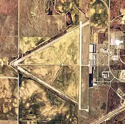
 2006 USGS orthophoto | |||||||||||||||
| Summary | |||||||||||||||
| Airport type | Public | ||||||||||||||
| Owner | City of Woodward | ||||||||||||||
| Serves | Woodward, Oklahoma | ||||||||||||||
| Elevation AMSL | 2,189 ft / 667 m | ||||||||||||||
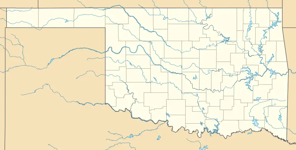
| Coordinates | 36°26′17″N 099°31′22″W / 36.43806°N 99.52278°W | ||||||||||||||
| Map | |||||||||||||||
 KWWR | |||||||||||||||
| Runways | |||||||||||||||
| |||||||||||||||
| Statistics (2023) | |||||||||||||||
| |||||||||||||||
West Woodward Airport (IATA: WWR, ICAO: KWWR, FAA LID: WWR) is in Woodward County, Oklahoma, United States, seven miles west of Woodward, which owns it.[1] The National Plan of Integrated Airport Systems for 2011–2015 called it a general aviation airport.[2]
History
Second Air Force until 1944. Sub-field of Will Rogers Field.
354th Army Air Forces Base Unit
Central Airlines scheduled flights to Woodward from 1950 to 1957.
Facilities
The airport covers 1,310 acres (530 ha) at an elevation of 2,189 feet (667 m). It has two runways: 17/35 is 5,502 by 100 feet (1,677 x 30 m) concrete, and 5/23 is 2,500 by 60 feet (762 x 18 m) asphalt.[1]
In the year ending July 11, 2023 the airport had 6,030 aircraft operations, 99% general aviation, and <1% military, average 116 per week. 25 aircraft were then based at the airport: 21 single-engine, 2 multi-engine, and 2 jet.[1]
See also
References
- 1 2 3 4 FAA Airport Form 5010 for WWR PDF. Federal Aviation Administration. Effective October 5, 2023.
- ↑ "2011–2015 NPIAS Report, Appendix A (PDF, 2.03 MB)" (PDF). National Plan of Integrated Airport Systems. Federal Aviation Administration. October 4, 2010.
External links
- FAA Terminal Procedures for WWR, effective December 28, 2023
- Resources for this airport:
- FAA airport information for WWR
- AirNav airport information for KWWR
- ASN accident history for WWR
- FlightAware airport information and live flight tracker
- NOAA/NWS weather observations: current, past three days
- SkyVector aeronautical chart, Terminal Procedures