Westeinde | |
|---|---|
Hamlet | |
 | |
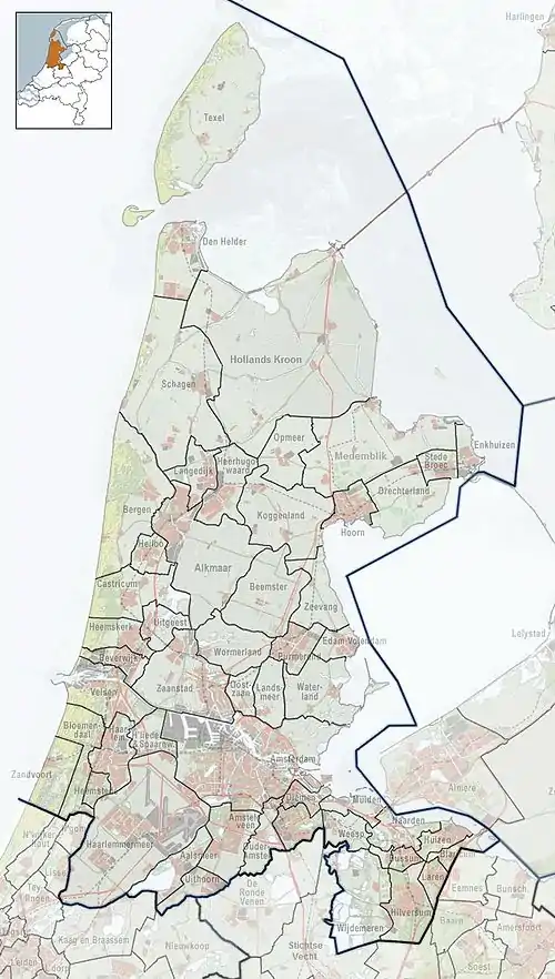
 Westeinde Location in the Netherlands  Westeinde Location in the province of North Holland in the Netherlands | |
| Coordinates: 52°42′3″N 5°15′51″E / 52.70083°N 5.26417°E | |
| Country | Netherlands |
| Province | North Holland |
| Municipality | Enkhuizen |
| Area | |
| • Total | 1.11 km2 (0.43 sq mi) |
| Elevation | 1.2 m (3.9 ft) |
| Population (2021)[1] | |
| • Total | 190 |
| • Density | 170/km2 (440/sq mi) |
| Time zone | UTC+1 (CET) |
| • Summer (DST) | UTC+2 (CEST) |
| Postal code | 1601[1] |
| Dialing code | 0228 |
Westeinde is a hamlet in the municipality of Enkhuizen in the Dutch province of North Holland.
Westeinde is located exactly between Bovenkarspel and the former city wall of Enkhuizen, adjacent to the Koepoort. Formally, Westeinde is a part of Enkhuizen. Westeinde is the most eastern point of De Streek.
Westeinde arose as a habitation just outside Enkhuizen's city walls. To this day, all along the road to which Westeinde originated are houses and businesses. The most important businesses in Westeinde are seed companies.
Gallery
 The formal Royal Sluis, one of the seed companies in Westeinde.
References
- 1 2 3 "Kerncijfers wijken en buurten 2021". Central Bureau of Statistics. Retrieved 29 April 2022.
- ↑ "Postcodetool for 1601AA". Actueel Hoogtebestand Nederland (in Dutch). Het Waterschapshuis. Retrieved 29 April 2022.
Wikimedia Commons has media related to Westeinde (Enkhuizen).
This article is issued from Wikipedia. The text is licensed under Creative Commons - Attribution - Sharealike. Additional terms may apply for the media files.