| Weston Bend State Park | |
|---|---|
 | |
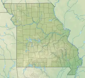
 Location in Missouri  Weston Bend State Park (the United States) | |
| Location | Platte County, Missouri, United States |
| Coordinates | 39°23′26″N 94°52′41″W / 39.39056°N 94.87806°W[1] |
| Area | 1,133.08 acres (4.5854 km2)[2] |
| Elevation | 1,004 ft (306 m)[1] |
| Established | 1980[3] |
| Visitors | 232,781 (in 2022)[4] |
| Governing body | Missouri Department of Natural Resources |
| Website | Weston Bend State Park |
Weston Bend State Park is a public recreation area on the east bank of the Missouri River in Platte County, Missouri. The state park's 1,133 acres (459 ha) include scenic river views, trails for hiking and biking, picnicking facilities, and a campground.[5]
References
- 1 2 "Weston Bend State Park". Geographic Names Information System. United States Geological Survey, United States Department of the Interior.
- ↑ "Weston Bend State Park: Data Sheet" (PDF). Missouri Department of Natural Resources. November 2017. Retrieved April 20, 2018.
- ↑ "State Park Land Acquisition Summary". Missouri State Parks. Retrieved April 20, 2018.
- ↑ "Missouri State Park Attendance For January - December, 2022" (PDF). Missouri State Parks. February 3, 2023.
- ↑ "Weston Bend State Park". Missouri Department of Natural Resources. Retrieved September 4, 2014.
External links
Wikimedia Commons has media related to Weston Bend State Park.
- Weston Bend State Park Missouri Department of Natural Resources
- Weston Bend State Park Map Missouri Department of Natural Resources
This article is issued from Wikipedia. The text is licensed under Creative Commons - Attribution - Sharealike. Additional terms may apply for the media files.