KS47 Yahiro Station 八広駅 | |||||||||||
|---|---|---|---|---|---|---|---|---|---|---|---|
 | |||||||||||
| General information | |||||||||||
| Location | Sumida, Tokyo Japan | ||||||||||
| Operated by | |||||||||||
| Line(s) | KS Keisei Oshiage Line | ||||||||||
| History | |||||||||||
| Opened | 1923 | ||||||||||
| Previous names | Arakawa (until 1994) | ||||||||||
| Services | |||||||||||
| |||||||||||
| Location | |||||||||||
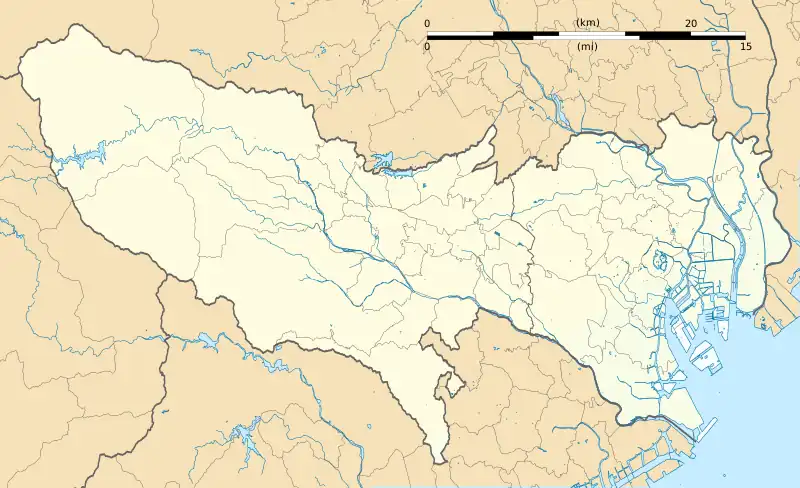
 Yahiro Station Location within Tokyo | |||||||||||
Yahiro Station (八広駅, Yahiro-eki) is a railway station on the Keisei Oshiage Line in Sumida, Tokyo, Japan, operated by the private railway operator Keisei Electric Railway.
Lines
Yahiro Station is served by the 5.7 km Keisei Oshiage Line, and is located 2.4 km from the starting point of the line at Oshiage.[1]
Station layout
This station has one island platform and one side platform serving three tracks.
Platforms
| 1-2 | KS Keisei Oshiage Line | for Oshiage A Toei Asakusa Line for Nihombashi, Shimbashi, and Nishi-magome KK Keikyu Line for Shinagawa, Haneda Airport (International Terminal and Domestic Terminal), and Misakiguchi |
| 2-3 | KS Keisei Oshiage Line | for Aoto, Keisei Funabashi, and Narita Airport (Terminal 2·3 and Terminal 1) HS Hokusō Line for Imba Nihon-idai |
 The platforms in December 2016
History
The station opened on 11 July 1923 as Arakawa Station (荒川駅).[1] It was renamed Yahiro Station on 1 April 1994.[1]
Station numbering was introduced to all Keisei Line stations on 17 July 2010; Yahiro was assigned station number KS47.[2][3]
See also
References
Wikimedia Commons has media related to Yahiro Station.
- 1 2 3 Terada, Hirokazu (19 January 2013). データブック日本の私鉄 [Databook: Japan's Private Railways]. Japan: Neko Publishing. p. 210. ISBN 978-4-7770-1336-4.
- ↑ "京成線各駅で「駅ナンバリング」を導入いたします" ["Station numbering" will be introduced to each station on the Keisei Line] (PDF). keisei.co.jp (in Japanese). Archived from the original (PDF) on 28 September 2022. Retrieved 25 February 2023.
- ↑ "京成と京急が駅ナンバリングを導入" [Keisei and Keikyu to introduce station numbering]. Tetsudo News (in Japanese). 6 June 2010. Archived from the original on 26 February 2023. Retrieved 26 February 2023.
This article is issued from Wikipedia. The text is licensed under Creative Commons - Attribution - Sharealike. Additional terms may apply for the media files.