| Yala Peak | |
|---|---|
 Yala Peak as seen from SW direction | |
| Highest point | |
| Elevation | 5,500 m (18,000 ft) |
| Prominence | 39 m (128 ft) |
| Listing | List of mountains in Nepal |
| Coordinates | 28°13′43″N 85°37′41″E / 28.22861°N 85.62806°E |
| Geography | |
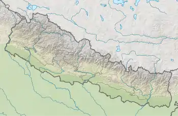
 Yala Peak Location in Nepal | |
| Location | Langtang, Nepal |
| Parent range | Himalayas |
Location
The summit of the peak is located at 5,500 m (18,000 ft) above sea level[1] and it provides a vantage point from where Shishapangma , 8,013 m (26,289 ft), can be seen. The Tsergo Ri giant landslide occurred close to Yala Peak.
This peak is considered as a trekking peak by the Nepal Mountaineering Association, and is a relatively simple, non-technical climb. The climbing of Yala Peak passes through the Langtang National Park. The flora and fauna of the peak and surrounding area consist of Rhododendron, Snow leopard, and Red panda. In its first leg, climbers choose to go to Kyanjin Monastery 3,900 m (12,800 ft), a famous Buddhist pilgrimage place, to adjust to the altitude and climate. Once acclimatized, the climbers move towards the base camp at Yala Kharka 4,600 m (15,100 ft).[2]
References
- ↑ "Yala Peak". PeakVisor. Retrieved 2022-04-22.
- ↑ Submit, Seven. "YALA PEAK". sevensummittreks.com. Retrieved 2022-04-22.