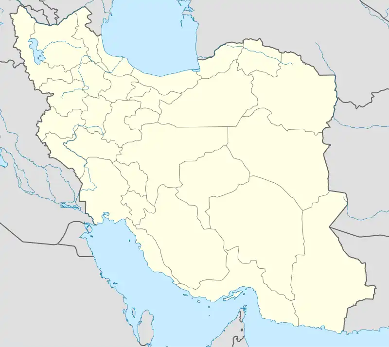
Yayshahr
ياي شهر | |
|---|---|
village | |
 Yayshahr | |
| Coordinates: 37°34′03″N 46°20′15″E / 37.56750°N 46.33750°E | |
| Country | |
| Province | East Azerbaijan |
| County | Maragheh |
| Bakhsh | Central |
| Rural District | Sarajuy-ye Gharbi |
| Population (2006) | |
| • Total | 327 |
| Time zone | UTC+3:30 (IRST) |
| • Summer (DST) | UTC+4:30 (IRDT) |
Yayshahr (Persian: ياي شهر, also Romanized as Yāyshahr; also known as Yarīshahr and Yāyshahrī)[1] is a village in Sarajuy-ye Gharbi Rural District, in the Central District of Maragheh County, East Azerbaijan Province, Iran. At the 2006 census, its population was 327, in 77 families.[2] The name "Yayshahr" is derived from the Turkic languages and means "summer town".[3]: 262 The village is located 16 km north of the city of Maragheh on the slopes of Mount Sahand.[3]: 262 Vladimir Minorsky tentatively identified Yayshahr with the historical castle of Ru'in Dez, which was the main residence of the Ahmadili atabegs of Maragheh in the 1100s and early 1200s.[3]: 262 He also suggested a possible identification with the ancient fortress of Vera (Greek: Οὔερα) which the Roman emperor Antonius besieged during his campaign against the Parthian Empire.[3]: 262
References
- ↑ Yayshahr can be found at GEOnet Names Server, at this link, by opening the Advanced Search box, entering "-3088568" in the "Unique Feature Id" form, and clicking on "Search Database".
- ↑ "Census of the Islamic Republic of Iran, 1385 (2006)" (Excel). Statistical Center of Iran. Archived from the original on 2011-09-20.
- 1 2 3 4 Minorsky, Vladimir (1944). "Roman and Byzantine Campaigns in Atropatene". Bulletin of the School of Oriental and African Studies, University of London. 11 (2): 243–65. Retrieved 5 October 2022.