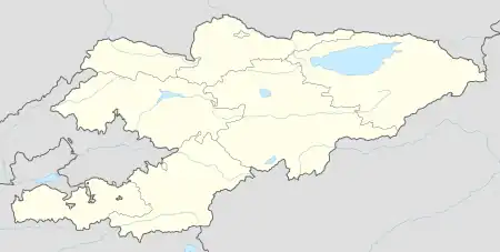
Yntymak
Ынтымак | |
|---|---|
 Yntymak | |
| Coordinates: 42°28′29″N 72°06′01″E / 42.47472°N 72.10028°E | |
| Country | Kyrgyzstan |
| Region | Talas Region |
| District | Bakay-Ata District |
| Elevation | 1,446 m (4,744 ft) |
| Population (2021) | |
| • Total | 2,918 |
| Time zone | UTC+6 |
Yntymak (Kyrgyz: Ынтымак, before 2001: Калинин Kalinin)[1] is a village in the Talas Region of north-west Kyrgyzstan. It is part of the Bakay-Ata District.[2] Its population was 2,918 in 2021.[3]
References
- ↑ Law 8 February 2001 No. 23
- ↑ "Classification system of territorial units of the Kyrgyz Republic" (in Kyrgyz). National Statistics Committee of the Kyrgyz Republic. May 2021. pp. 64–65.
- ↑ "Population of regions, districts, towns, urban-type settlements, rural communities and villages of Kyrgyz Republic" (XLS) (in Russian). National Statistics Committee of the Kyrgyz Republic. 2021. Archived from the original on 10 November 2021.
This article is issued from Wikipedia. The text is licensed under Creative Commons - Attribution - Sharealike. Additional terms may apply for the media files.