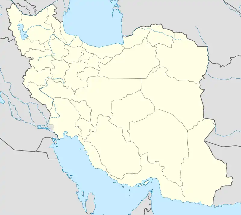
Zahmakan Rural District
Persian: دهستان زهمکان | |
|---|---|
 Zahmakan Rural District | |
| Coordinates: 28°19′33″N 57°04′05″E / 28.32583°N 57.06806°E[1] | |
| Country | |
| Province | Kerman |
| County | Faryab |
| District | Hur |
| Capital | Zahmakan |
| Population (2016)[2] | |
| • Total | 3,986 |
| Time zone | UTC+3:30 (IRST) |
Zahmakan Rural District (Persian: دهستان زهمکان) is in Hur District of Faryab County, Kerman province, Iran. Its capital is the village of Zahmakan.[3]
After the 2006 National Census, Faryab District was separated from Kahnuj County in the establishment of Faryab County, which was divided into two districts of two rural districts each, with Faryab as its capital and only city.[3]
At the census of 2011, its population was 3,504 in 963 households.[4] At the most recent census of 2016, the population of the rural district was 3,986 in 1,229 households. The largest of its 21 villages was Murdan, with 990 people.[2]
References
- ↑ OpenStreetMap contributors (28 June 2023). "Zahmakan Rural District (Faryab County)" (Map). OpenStreetMap. Retrieved 28 June 2023.
- 1 2 "Census of the Islamic Republic of Iran, 1395 (2016)". AMAR (in Persian). The Statistical Center of Iran. p. 08. Archived from the original (Excel) on 20 October 2020. Retrieved 19 December 2022.
- 1 2 "With six changes in the geography of Kerman province: Faryab County was added to the map of country divisions". DOLAT (in Persian). Ministry of Interior, Board of Ministers. 8 February 2011. Archived from the original on 22 January 2017. Retrieved 16 November 2023.
- ↑ "Census of the Islamic Republic of Iran, 1390 (2011)" (Excel). Iran Data Portal (in Persian). The Statistical Center of Iran. p. 08. Retrieved 19 December 2022.
This article is issued from Wikipedia. The text is licensed under Creative Commons - Attribution - Sharealike. Additional terms may apply for the media files.
