Zarghun Shar
زرغون ښار | |
|---|---|
village | |
 Zarghun Shar | |
| Coordinates: 34°07′13″N 069°08′22″E / 34.12028°N 69.13944°E | |
| Country | |
| Province | Logar Province |
| Rural District | Mohammad Agha District |
| Time zone | UTC+4:30 (IRST) |
| • Summer (DST) | UTC+5:30 (IRDT) |
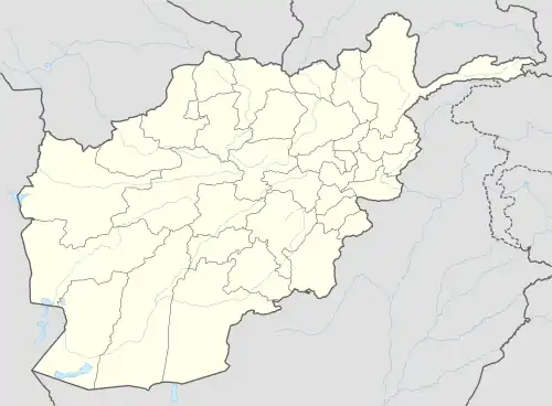
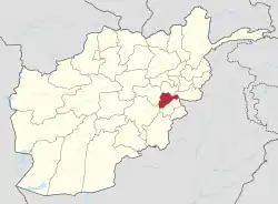
Zarghūn Khār (Pashto: زرغون ښار), Zarghūn Shār (Dari: زرغون شهر) or Zarghūn Shār-e ‘Alī Kheyl (Dari: زرغون شهر علی خیل), is a large irrigated area in Mohammad Agha District, Logar Province, eastern Afghanistan.[1] It is west of the Pastah Plains and south of the Qal‘ah-ye Dowlat Plains, and supports the villages of Shah Qal‘ah, Mālī Khēl, Deh Mēnah, ‘Alī Khēl and Deh-e Manakah.[2]
The Shrine of Khwaja Sadr-e Awlia
In Zarghun Shar lies the shrine of Khwaja Sadr-e Awlia.[3] The site is a popular place of pilgrimage, attracting visitors from around the province.
Notes
- ↑ Zarghun Shar can be found at GEOnet Names Server, at this link, by opening the Advanced Search box, entering "-3396722" in the "Unique Feature Id" form, and clicking on "Search Database".
- ↑ "Zarghūn Shahr" Geonames.org
- ↑ "Background Profile of Logar | Pajhwok Election site". elections.pajhwok.com. Retrieved 2018-05-04.
This article is issued from Wikipedia. The text is licensed under Creative Commons - Attribution - Sharealike. Additional terms may apply for the media files.
