Zarumilla | |
|---|---|
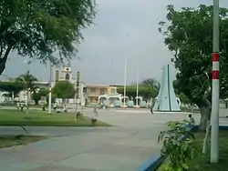 Main square in Zarumilla | |
 Flag | |
| Nickname(s): Centinela arrogante del Perú (Arrogant Sentinel of Peru), Gloriosa y victoriosa (Glorious and Victorious) | |
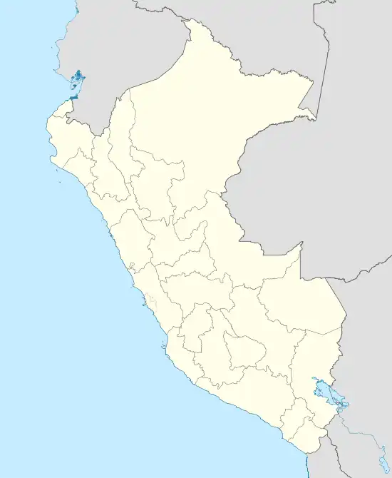 Zarumilla Location of Zarumilla in Peru | |
| Coordinates: 3°30′05″S 80°16′20″W / 3.5014°S 80.2722°W | |
| Country | |
| Department | Tumbes |
| Province | Zarumilla |
| District | Zarumilla |
| Founded | January 12, 1871 |
| Government | |
| • Mayor | Felix Ernesto Garrido Rivera |
| Area | |
| • Total | 113.25 km2 (43.73 sq mi) |
| Elevation | 11 m (36 ft) |
| Population (2019) | |
| • Total | 54,625 |
| Demonym(s) | Zarumillano, -na |
| Time zone | UTC-5 (PET) |
| Website | https://munizarumilla.gob.pe/ |
Zarumilla is a city in the Tumbes Region, in northwestern Peru. It has a population of 54,625 as of 2019, and is the capital of the Zarumilla Province. It is also the main settlement in the Zarumilla District. It is located only a few kilometers away from the border town of Aguas Verdes, which is connected to Ecuador by a bridge.
The city's surroundings were the location of the eponymous battle that took place from July 23 to 31 during the 1941 Ecuadorian–Peruvian War.[1][2] Its economy is focused on farming and the city serves today as a route of international trade with Ecuador.[3]
References
- ↑ Tamayo Herrera, José (1985). Nuevo Compendio de Historia del Perú. Editorial Lumen. p. 349.
- ↑ Monteza Tafur, Miguel (1979). El Conflicto Militar del Perú con el Ecuador. Editorial Universo S.A. p. 124.
- ↑ Tauro del Pino, Alberto (2001). Enciclopedia ilustrada del Perú: VAC-ZUZ. PEISA. p. 2827. ISBN 9972401499.
This article is issued from Wikipedia. The text is licensed under Creative Commons - Attribution - Sharealike. Additional terms may apply for the media files.