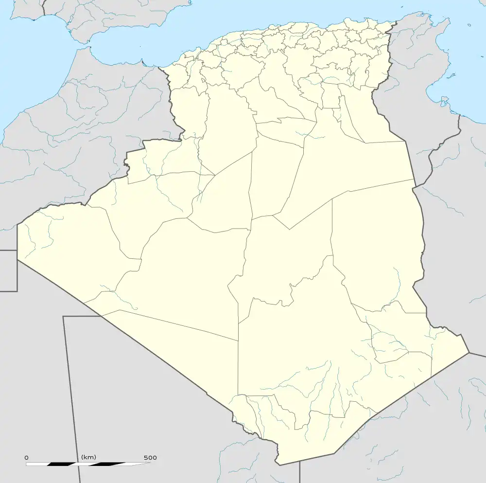
Zerhamra | |
|---|---|
Village | |
 Zerhamra | |
| Coordinates: 29°59′18″N 2°29′24″W / 29.98833°N 2.49000°W | |
| Country | |
| Province | Béchar Province |
| District | Béni Abbès District |
| Commune | Béni Abbès[1] |
| Elevation | 513 m (1,683 ft) |
| Time zone | UTC+1 (CET) |
Zerhamra (also written Zaghamra) is a village in the commune of Béni Abbès,[1] in Béchar Province, Algeria. It lies beneath the Ougarta Range of the Sahara desert. A local road connects the village to the N6 highway near the town of Béni Abbès 35 kilometres (22 mi) to the northeast.

The Zerhamra meteorite - a 640-kilogram (1,410 lb) block of Siderite found in 1967, 22 kilometres (14 mi) away from the Oasis. Musée des Confluences, Lyon, France
Zerhamra is also the name of a 640-kilogram (1,410 lb) meteorite discovered in 1967, 22 kilometres (14 mi) away from the village.[2] A Siderite (Group III AB), the heavy meteorite is a portion of the metallic core of a celestial body which fragmented during a powerful collision. The characteristic shape of the surface is indicative of erosion.
References
- 1 2 "Décret n° 84-365, fixant la composition, la consistance et les limites territoriale des communes. Wilaya d'El Oued" (PDF) (in French). Journal officiel de la République Algérienne. 19 December 1984. p. 1490. Archived from the original (PDF) on 31 July 2011. Retrieved 2 March 2013.
- ↑ Arbey, François (2 February 1967). "DISCOVERY OF THE ZERHAMRA, ALGERIA, IRON METEORITE". Meteoritical Bulletin. Retrieved 14 July 2022.
Neighbouring towns and cities
This article is issued from Wikipedia. The text is licensed under Creative Commons - Attribution - Sharealike. Additional terms may apply for the media files.
.svg.png.webp)