Anivorano Nord
Anivorano Avaratra | |
|---|---|
 Anivorano-Nord | |
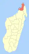
 Anivorano Nord Location in Madagascar | |
| Coordinates: 12°44′S 49°14′E / 12.733°S 49.233°E | |
| Country | |
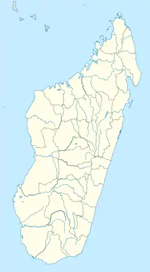
| Region | Diana |
| District | Antsiranana II |
| Elevation | 440 m (1,440 ft) |
| Population (2018)Census | |
| • Total | 24,838 |
| Time zone | UTC3 (EAT) |
| Postal code | 202 |
Anivorano Nord or Anivorano Avaratra is a municipality in Madagascar. It belongs to the district of Antsiranana II, which is a part of Diana Region.
Primary and junior level secondary education are available in town. It is also a site of industrial-scale mining. The majority 99% of the population are farmers. The most important crop is rice, while other important products are peanut and maize. Services provide employment for 1% of the population.[2]
Geography
Anivorano Nord is situated at the Route nationale 6 at 69 km from Diego Suarez. Next towns are Ambilobe and Andrafiabe.[3]
Bodies of water
The Antanavo Lake & the Beamalona River are situated in this municipality.
Gallery
 The town hall
 The market
-Anivorano_Nord_01.jpg.webp) Beamalona River
Beamalona River
References
- ↑ Estimated based on DEM data from Shuttle Radar Topography Mission
- ↑ "ILO census data". Cornell University. 2002. Retrieved 2008-02-13.
- ↑ Atlas Mondial, France Loisir, page 159
Wikimedia Commons has media related to Anivorano-Nord.
| Ambanja (24) - 203 |
|  |
|---|---|---|
| Ambilobe (15) - 204 | ||
| Antsiranana (Diego Suarez) (1) - 201 | ||
| Antsiranana II (22) - 202 |
| |
| Nosy Be (5) - 207 |
| |
5 districts; 51 communes | ||
This article is issued from Wikipedia. The text is licensed under Creative Commons - Attribution - Sharealike. Additional terms may apply for the media files.