| Blue Lake Provincial Park | |
|---|---|
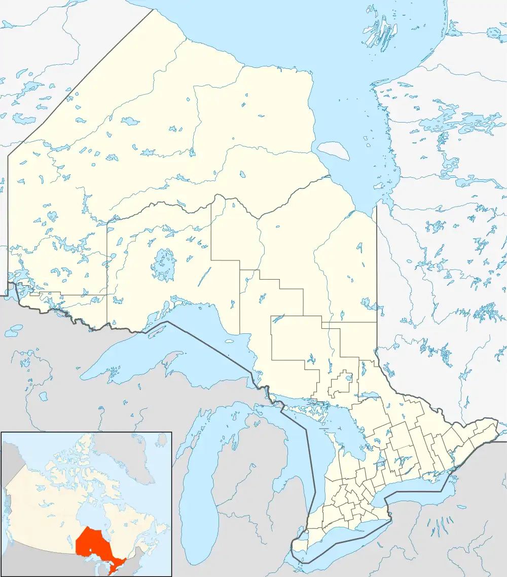 Location of Blue Lake Provincial Park in Ontario | |
| Location | Kenora, Ontario, Canada |
| Coordinates | 49°53′36″N 93°32′29″W / 49.89333°N 93.54139°W |
| Area | 2,314 ha (8.93 sq mi) |
| Elevation | 382 m (1,253 ft) |
| Named for | Blue Lake |
Blue Lake Provincial Park is a park in Kenora District, Ontario, Canada, located 10 kilometres (6 mi) northwest of the community of Vermilion Bay. It can be accessed via Ontario Highway 647.
References
- "Blue Lake Provincial Park". Geographical Names Data Base. Natural Resources Canada. Retrieved 2010-07-15.
- "Toporama - Topographic Map Sheets 52F13, 52F14". Atlas of Canada. Natural Resources Canada. Archived from the original on 2010-08-31. Retrieved 2010-07-15.
External links
This article is issued from Wikipedia. The text is licensed under Creative Commons - Attribution - Sharealike. Additional terms may apply for the media files.