Buxeuil | |
|---|---|
 The main square in Buxeuil | |
Location of Buxeuil | |
 Buxeuil 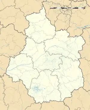 Buxeuil | |
| Coordinates: 47°08′02″N 1°41′15″E / 47.1339°N 1.6875°E | |
| Country | France |
| Region | Centre-Val de Loire |
| Department | Indre |
| Arrondissement | Issoudun |
| Canton | Levroux |
| Intercommunality | Champagne Boischauts |
| Government | |
| • Mayor (2020–2026) | Dominique Lapoumeroulie[1] |
| Area 1 | 19.75 km2 (7.63 sq mi) |
| Population | 227 |
| • Density | 11/km2 (30/sq mi) |
| Time zone | UTC+01:00 (CET) |
| • Summer (DST) | UTC+02:00 (CEST) |
| INSEE/Postal code | 36029 /36150 |
| Elevation | 97–161 m (318–528 ft) (avg. 110 m or 360 ft) |
| 1 French Land Register data, which excludes lakes, ponds, glaciers > 1 km2 (0.386 sq mi or 247 acres) and river estuaries. | |
Buxeuil is a commune in the Indre department in central France.
Population
| Year | Pop. | ±% p.a. |
|---|---|---|
| 1968 | 322 | — |
| 1975 | 271 | −2.43% |
| 1982 | 231 | −2.26% |
| 1990 | 202 | −1.66% |
| 1999 | 228 | +1.35% |
| 2009 | 218 | −0.45% |
| 2014 | 222 | +0.36% |
| 2020 | 234 | +0.88% |
| Source: INSEE[3] | ||
See also
References
- ↑ "Répertoire national des élus: les maires". data.gouv.fr, Plateforme ouverte des données publiques françaises (in French). 9 August 2021.
- ↑ "Populations légales 2021". The National Institute of Statistics and Economic Studies. 28 December 2023.
- ↑ Population en historique depuis 1968, INSEE
Wikimedia Commons has media related to Buxeuil (Indre).
This article is issued from Wikipedia. The text is licensed under Creative Commons - Attribution - Sharealike. Additional terms may apply for the media files.