La Berthenoux | |
|---|---|
_-_Mairie.jpg.webp) The town hall in La Berthenoux | |
Location of La Berthenoux | |
 La Berthenoux 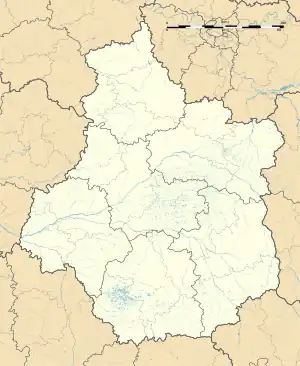 La Berthenoux | |
| Coordinates: 46°39′42″N 2°03′46″E / 46.6617°N 2.0628°E | |
| Country | France |
| Region | Centre-Val de Loire |
| Department | Indre |
| Arrondissement | La Châtre |
| Canton | La Châtre |
| Intercommunality | La Châtre et Sainte-Sévère |
| Government | |
| • Mayor (2020–2026) | Philippe Patrigeon[1] |
| Area 1 | 39.82 km2 (15.37 sq mi) |
| Population | 363 |
| • Density | 9.1/km2 (24/sq mi) |
| Time zone | UTC+01:00 (CET) |
| • Summer (DST) | UTC+02:00 (CEST) |
| INSEE/Postal code | 36017 /36400 |
| Elevation | 184–269 m (604–883 ft) (avg. 246 m or 807 ft) |
| 1 French Land Register data, which excludes lakes, ponds, glaciers > 1 km2 (0.386 sq mi or 247 acres) and river estuaries. | |
La Berthenoux (French pronunciation: [la bɛʁtənu]) is a commune in the Indre department in central France.
Population
| Year | Pop. | ±% p.a. |
|---|---|---|
| 1968 | 743 | — |
| 1975 | 622 | −2.51% |
| 1982 | 539 | −2.03% |
| 1990 | 467 | −1.78% |
| 1999 | 468 | +0.02% |
| 2009 | 458 | −0.22% |
| 2014 | 420 | −1.72% |
| 2020 | 367 | −2.22% |
| Source: INSEE[3] | ||
See also
References
- ↑ "Répertoire national des élus: les maires". data.gouv.fr, Plateforme ouverte des données publiques françaises (in French). 2 December 2020.
- ↑ "Populations légales 2021". The National Institute of Statistics and Economic Studies. 28 December 2023.
- ↑ Population en historique depuis 1968, INSEE
Wikimedia Commons has media related to La Berthenoux.
This article is issued from Wikipedia. The text is licensed under Creative Commons - Attribution - Sharealike. Additional terms may apply for the media files.