Camino al Tagliamento
| |
|---|---|
| Comune di Camino al Tagliamento | |
Location of Camino al Tagliamento | |
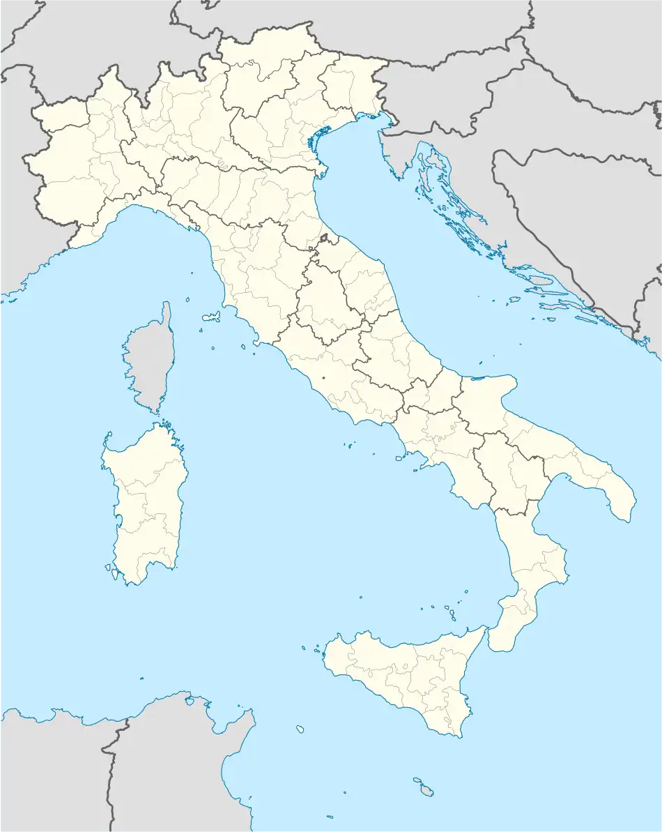 Camino al Tagliamento Location of Camino al Tagliamento in Italy 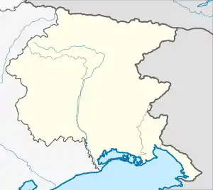 Camino al Tagliamento Camino al Tagliamento (Friuli-Venezia Giulia) | |
| Coordinates: 45°55′N 12°57′E / 45.917°N 12.950°E | |
| Country | Italy |
| Region | Friuli Venezia Giulia |
| Province | Udine (UD) |
| Frazioni | Bugnins, Glaunicco, Gorizzo, Pieve di Rosa, San Vidotto, Straccis |
| Government | |
| • Mayor | Nicola Locatelli |
| Area | |
| • Total | 22.32 km2 (8.62 sq mi) |
| Elevation | 34 m (112 ft) |
| Population (30 April 2017)[2] | |
| • Total | 1,622 |
| • Density | 73/km2 (190/sq mi) |
| Demonym | Caminesi |
| Time zone | UTC+1 (CET) |
| • Summer (DST) | UTC+2 (CEST) |
| Postal code | 33030 |
| Dialing code | 0432 |
| Website | Official website |
Camino al Tagliamento (Friulian: Cjamin dal Tiliment) is a comune (municipality) in the Regional decentralization entity of Udine in the Italian region of Friuli Venezia Giulia, located about 70 kilometres (43 mi) northwest of Trieste and about 30 kilometres (19 mi) southwest of Udine.
Camino al Tagliamento borders the following municipalities: Codroipo, Morsano al Tagliamento, San Vito al Tagliamento, Varmo.
References
- ↑ "Superficie di Comuni Province e Regioni italiane al 9 ottobre 2011". Italian National Institute of Statistics. Retrieved 16 March 2019.
- ↑ All demographics and other statistics: Italian statistical institute Istat.
External links

This article is issued from Wikipedia. The text is licensed under Creative Commons - Attribution - Sharealike. Additional terms may apply for the media files.