Morsano al Tagliamento
| |
|---|---|
| Comune di Morsano al Tagliamento | |
 Coat of arms | |
Location of Morsano al Tagliamento | |
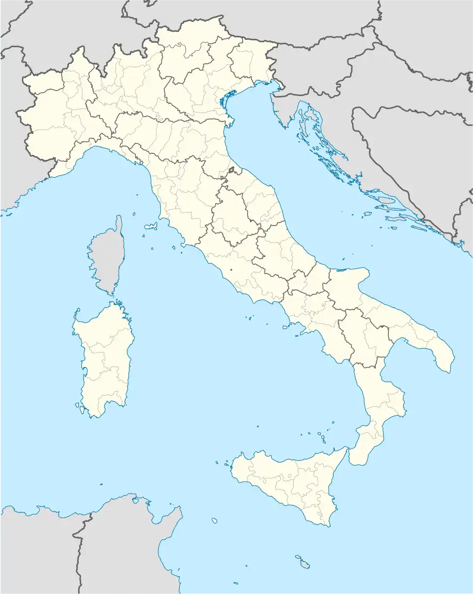 Morsano al Tagliamento Location of Morsano al Tagliamento in Italy 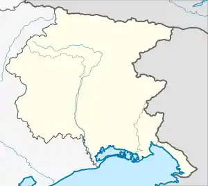 Morsano al Tagliamento Morsano al Tagliamento (Friuli-Venezia Giulia) | |
| Coordinates: 45°55′N 12°57′E / 45.917°N 12.950°E | |
| Country | Italy |
| Region | Friuli Venezia Giulia |
| Province | Pordenone (PN) |
| Frazioni | Bando, Mussons, Saletto, San Paolo al Tagliamento |
| Government | |
| • Mayor | Piero Barei |
| Area | |
| • Total | 32.2 km2 (12.4 sq mi) |
| Elevation | 14 m (46 ft) |
| Population | |
| • Total | 2,811 |
| • Density | 87/km2 (230/sq mi) |
| Demonym | Morsanesi |
| Time zone | UTC+1 (CET) |
| • Summer (DST) | UTC+2 (CEST) |
| Postal code | 33075 |
| Dialing code | 0434 |
| Website | Official website |
Morsano al Tagliamento (Standard Friulian: Morsàn da lis Ocjis, Western Friulian: Morsan) is a comune (municipality) in the Regional decentralization entity of Pordenone in the Italian region of Friuli Venezia Giulia, located about 70 kilometres (43 mi) northwest of Trieste and about 25 kilometres (16 mi) east of Pordenone.
Geography
Morsano borders the following municipalities: Camino al Tagliamento, Cordovado, Fossalta di Portogruaro, San Michele al Tagliamento, San Vito al Tagliamento, Sesto al Reghena, Teglio Veneto, Varmo.
References
- ↑ "Superficie di Comuni Province e Regioni italiane al 9 ottobre 2011". Italian National Institute of Statistics. Retrieved 16 March 2019.
- ↑ Data from Istat
- ↑ "Popolazione Residente al 1° Gennaio 2018". Italian National Institute of Statistics. Retrieved 16 March 2019.
External links
Wikimedia Commons has media related to Morsano al Tagliamento.
This article is issued from Wikipedia. The text is licensed under Creative Commons - Attribution - Sharealike. Additional terms may apply for the media files.