| Canelles River | |
|---|---|
 Location of mouth | |
| Location | |
| Country | Saint Lucia |
| Region | Micoud Quarter |
| Physical characteristics | |
| Mouth | Atlantic Ocean |
• coordinates | 13°46′N 60°54′W / 13.767°N 60.900°W |
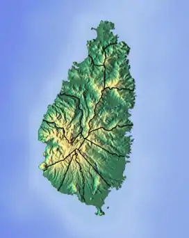
The Canelles River is a river in Saint Lucia. It flows southeast from the central highlands in the south of the island, reaching the Atlantic Ocean to the south of the town of Micoud.[1][2][3]
See also
References
- ↑ "Canelles River". National Geospatial Intelligence Agency. Retrieved August 3, 2021.
- ↑ "Integrating the Management of Watersheds and Coastal Areas in St. Lucia". Water Resources Management Unit, Ministry of Agriculture, Forestry and Fisheries Government of St. Lucia. 2001. Retrieved August 3, 2021.
- ↑ Breen, Henry H. (1844). St. Lucia: Historical, Statistical, and Descriptive. London: Longman, Brown, Green, and Longmans. p. 10.
This article is issued from Wikipedia. The text is licensed under Creative Commons - Attribution - Sharealike. Additional terms may apply for the media files.