Capitignano | |
|---|---|
| Comune di Capitignano | |
 | |
Location of Capitignano | |
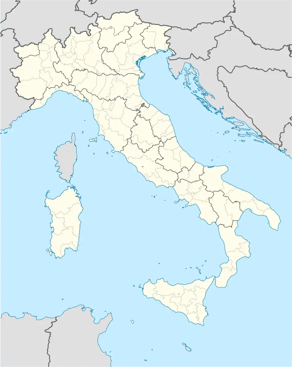 Capitignano Location of Capitignano in Italy 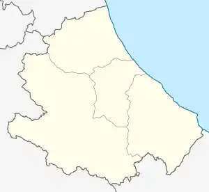 Capitignano Capitignano (Abruzzo) | |
| Coordinates: 42°31′22″N 13°17′54″E / 42.52278°N 13.29833°E | |
| Country | Italy |
| Region | Abruzzo |
| Province | L'Aquila (AQ) |
| Frazioni | Mapolino, Sivignano |
| Government | |
| • Mayor | Maurizio Pelosi |
| Area | |
| • Total | 30.62 km2 (11.82 sq mi) |
| Elevation | 916 m (3,005 ft) |
| Population (31 May 2017)[2] | |
| • Total | 668 |
| • Density | 22/km2 (57/sq mi) |
| Demonym | Capitignanesi |
| Time zone | UTC+1 (CET) |
| • Summer (DST) | UTC+2 (CEST) |
| Postal code | 67014 |
| Dialing code | 0862 |
| Saint day | 24 November |
| Website | Official website |
Capitignano (Sabino dialect: Capignànu) is a comune and town in the province of L'Aquila in the Abruzzo region of Italy. It is located in the Gran Sasso e Monti della Laga National Park. Part of the territory of the municipality falls within the territory of the natural reserve of Lake Campotosto and of the Valle del Tronto.
References
- ↑ "Superficie di Comuni Province e Regioni italiane al 9 ottobre 2011". Italian National Institute of Statistics. Retrieved 16 March 2019.
- ↑ "Popolazione Residente al 1° Gennaio 2018". Italian National Institute of Statistics. Retrieved 16 March 2019.
This article is issued from Wikipedia. The text is licensed under Creative Commons - Attribution - Sharealike. Additional terms may apply for the media files.