Collepietro | |
|---|---|
| Comune di Collepietro | |
.JPG.webp) | |
Location of Collepietro | |
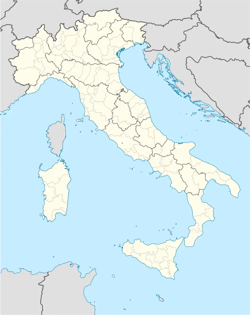 Collepietro Location of Collepietro in Italy 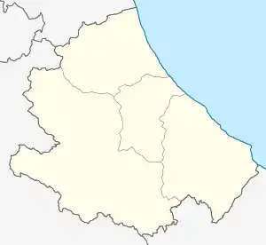 Collepietro Collepietro (Abruzzo) | |
| Coordinates: 42°13′22″N 13°46′49″E / 42.22278°N 13.78028°E | |
| Country | Italy |
| Region | Abruzzo |
| Province | L'Aquila (AQ) |
| Frazioni | Bussi sul Tirino (PE), Capestrano, Navelli, Popoli (PE), San Benedetto in Perillis |
| Area | |
| • Total | 15.24 km2 (5.88 sq mi) |
| Elevation | 849 m (2,785 ft) |
| Population (31 December 2013)[2] | |
| • Total | 243 |
| • Density | 16/km2 (41/sq mi) |
| Demonym | Collepietrani |
| Time zone | UTC+1 (CET) |
| • Summer (DST) | UTC+2 (CEST) |
| Postal code | 67020 |
| Dialing code | 0862 |
| ISTAT code | 066040 |
| Patron saint | San Giovanni Battista |
| Saint day | 24 June |
Collepietro is a comune and town in the Province of L'Aquila in the Abruzzo region of Italy.
References
- ↑ "Superficie di Comuni Province e Regioni italiane al 9 ottobre 2011". Italian National Institute of Statistics. Retrieved 16 March 2019.
- ↑ All demographics and other statistics from the Italian statistical institute (Istat)
This article is issued from Wikipedia. The text is licensed under Creative Commons - Attribution - Sharealike. Additional terms may apply for the media files.