Castejón de Alarba, Spain | |
|---|---|
 | |
 Flag  Seal | |
 Castejón de Alarba, Spain 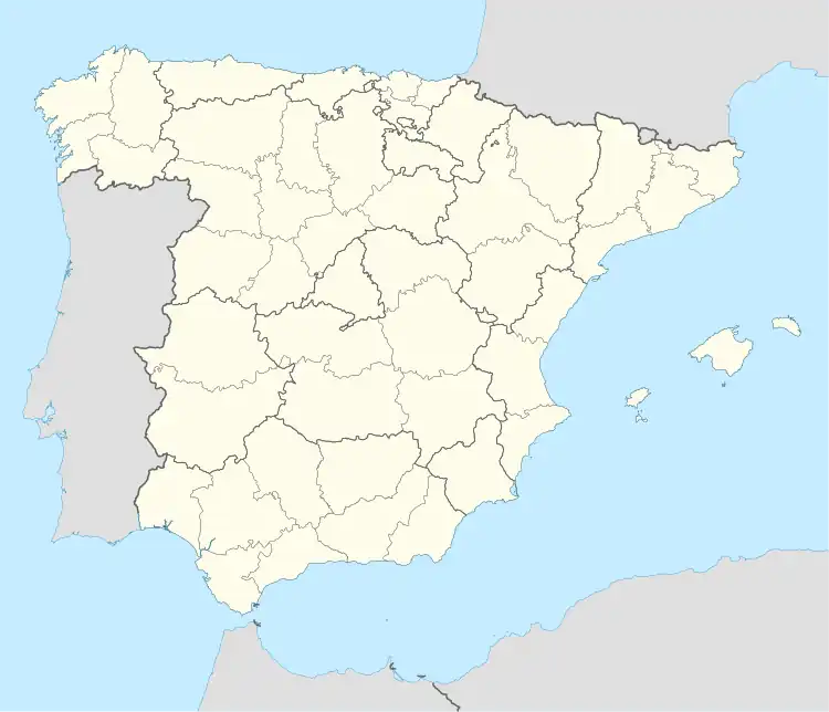 Castejón de Alarba, Spain  Castejón de Alarba, Spain | |
| Coordinates: 41°11′N 1°38′W / 41.183°N 1.633°W | |
| Country | |
| Autonomous community | |
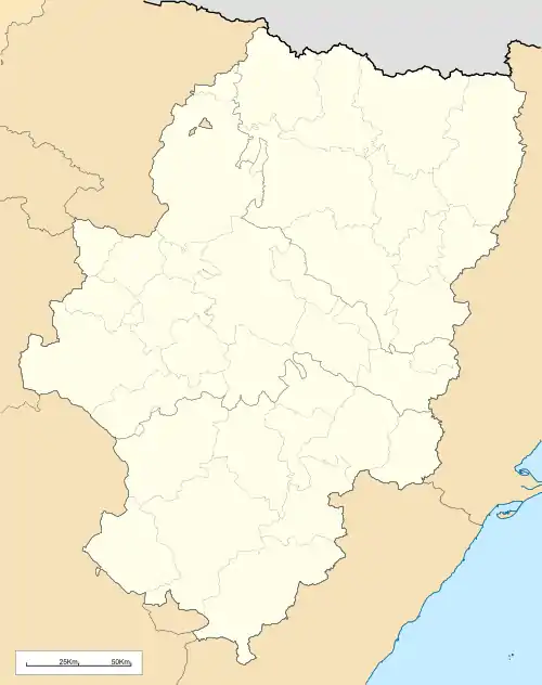
| Province | Zaragoza |
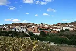
| Municipality | Castejón de Alarba |
| Area | |
| • Total | 17.48 km2 (6.75 sq mi) |
| Elevation | 916 m (3,005 ft) |
| Population (2018)[1] | |
| • Total | 92 |
| • Density | 5.3/km2 (14/sq mi) |
| Time zone | UTC+1 (CET) |
| • Summer (DST) | UTC+2 (CEST) |
Castejón de Alarba is a municipality located in the province of Zaragoza, Aragon, Spain. According to the 2004 census (INE), the municipality had a population of 98 inhabitants.
References
- ↑ Municipal Register of Spain 2018. National Statistics Institute.
This article is issued from Wikipedia. The text is licensed under Creative Commons - Attribution - Sharealike. Additional terms may apply for the media files.