Atea | |
|---|---|
municipality | |
 | |
 Flag  Seal | |
 Atea 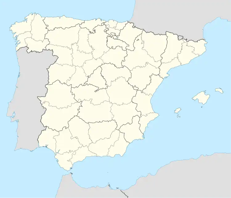 Atea  Atea | |
| Coordinates: 41°9′33″N 1°33′14″W / 41.15917°N 1.55389°W | |
| Country | |
| Autonomous community | |
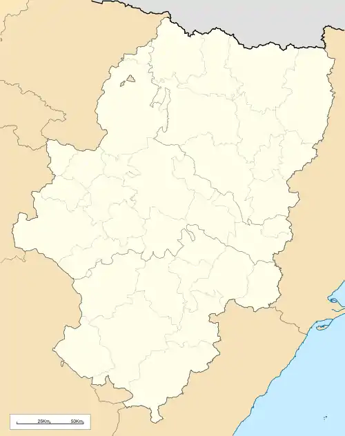
| Province | Zaragoza |
| Comarca | Campo de Daroca |
| Area | |
| • Total | 34.68 km2 (13.39 sq mi) |
| Elevation | 842 m (2,762 ft) |
| Population (2018)[1] | |
| • Total | 156 |
| • Density | 4.5/km2 (12/sq mi) |
| Time zone | UTC+1 (CET) |
| • Summer (DST) | UTC+2 (CEST) |
Atea is a municipality in the province of Zaragoza, Aragon, Spain. It is part of the comarca of Campo de Daroca.
The town is located near the Sierra de Santa Cruz.
References
- ↑ Municipal Register of Spain 2018. National Statistics Institute.
External links
This article is issued from Wikipedia. The text is licensed under Creative Commons - Attribution - Sharealike. Additional terms may apply for the media files.