Châtillon-sur-Colmont | |
|---|---|
_%C3%89glise_01.JPG.webp) The church in Châtillon-sur-Colmont | |
Location of Châtillon-sur-Colmont | |
 Châtillon-sur-Colmont 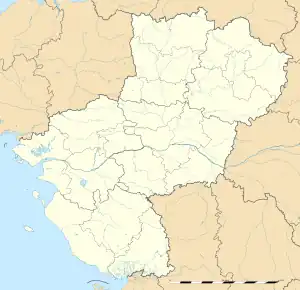 Châtillon-sur-Colmont | |
| Coordinates: 48°20′22″N 0°44′27″W / 48.3394°N 0.7408°W | |
| Country | France |
| Region | Pays de la Loire |
| Department | Mayenne |
| Arrondissement | Mayenne |
| Canton | Gorron |
| Government | |
| • Mayor (2020–2026) | Prosper Chauvin[1] |
| Area 1 | 39.62 km2 (15.30 sq mi) |
| Population | 959 |
| • Density | 24/km2 (63/sq mi) |
| Time zone | UTC+01:00 (CET) |
| • Summer (DST) | UTC+02:00 (CEST) |
| INSEE/Postal code | 53064 /53100 |
| Elevation | 110–231 m (361–758 ft) (avg. 225 m or 738 ft) |
| 1 French Land Register data, which excludes lakes, ponds, glaciers > 1 km2 (0.386 sq mi or 247 acres) and river estuaries. | |
Châtillon-sur-Colmont (French pronunciation: [ʃatijɔ̃ syʁ kɔlmɔ̃], literally Châtillon on Colmont) is a commune in the Mayenne department in north-western France.[3] The river Colmont flows through the commune.[4]
See also
References
- ↑ "Répertoire national des élus: les maires" (in French). data.gouv.fr, Plateforme ouverte des données publiques françaises. 13 September 2022.
- ↑ "Populations légales 2021". The National Institute of Statistics and Economic Studies. 28 December 2023.
- ↑ INSEE commune file
- ↑ Sandre. "Fiche cours d'eau - la Colmont (M32-0300)".
Wikimedia Commons has media related to Châtillon-sur-Colmont.
This article is issued from Wikipedia. The text is licensed under Creative Commons - Attribution - Sharealike. Additional terms may apply for the media files.