Hardanges | |
|---|---|
 Coat of arms | |
Location of Hardanges | |
 Hardanges 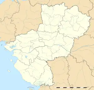 Hardanges | |
| Coordinates: 48°20′14″N 0°24′03″W / 48.3372°N 0.4008°W | |
| Country | France |
| Region | Pays de la Loire |
| Department | Mayenne |
| Arrondissement | Mayenne |
| Canton | Lassay-les-Châteaux |
| Government | |
| • Mayor (2020–2026) | Eric Neveu[1] |
| Area 1 | 18.48 km2 (7.14 sq mi) |
| Population | 183 |
| • Density | 9.9/km2 (26/sq mi) |
| Time zone | UTC+01:00 (CET) |
| • Summer (DST) | UTC+02:00 (CEST) |
| INSEE/Postal code | 53114 /53640 |
| Elevation | 149–327 m (489–1,073 ft) (avg. 225 m or 738 ft) |
| 1 French Land Register data, which excludes lakes, ponds, glaciers > 1 km2 (0.386 sq mi or 247 acres) and river estuaries. | |
Hardanges (French pronunciation: [aʁdɑ̃ʒ]) is a French commune, located in Mayenne, Pays de la Loire, populated by 203 persons. The commune is part of the historic province of Maine (province).[3]
History
The Latin form of the name Hardengia. It is formed of a Germanic medieval suffix -ing (indicating property), one of few such examples in West France.[4]
Geography
Hardanges is located 11 km from Villaines-la-Juhel and 17 km from Mayenne. The N12 road is 7 km from the commune.
Hardagnes is a rural commune, as such it is part of those communes judged "sparse or very sparse" by the French Insee.[5][6] As the commune is part of the Aire d'attraction of Mayenne, it is a Crown Commune.
Local culture and heritage
Key sites and monuments include:
- St Peter's Church
- St Matthew's Chapel, built in 1775
- La Chasse-Guerre Castle
- La Butte Park
- Le Saule Mountain
The commune is home to the Les Découvertes motocross circuit.
See also
References
- ↑ "Répertoire national des élus: les maires". data.gouv.fr, Plateforme ouverte des données publiques françaises (in French). 2 December 2020.
- ↑ "Populations légales 2021". The National Institute of Statistics and Economic Studies. 28 December 2023.
- ↑ Saugrain, Claude-Marin (1726). Dictionnaire universel de la France ancienne et moderne et de la Nouvelle France. Vol. 2. p. 139.
- ↑ Albert Dauzat; Charles Rostaing (1979). Dictionnaire étymologique des noms de lieu en France (in French). Paris. Librairie Guénégaud. p. 343b. ISBN 2-85023-076-6.
{{cite book}}: CS1 maint: location missing publisher (link). - ↑ "Typologie urbain / rural". www.observatoire-des-territoires.gouv.fr. Retrieved 29 March 2021..
- ↑ "Comprendre la grille de densité". www.observatoire-des-territoires.gouv.fr. Archived from the original on 17 April 2021. Retrieved 29 March 2021..