Saint-Berthevin-la-Tannière | |
|---|---|
_%C3%89glise_01.JPG.webp) The church in Saint-Berthevin-la-Tannière | |
 Coat of arms | |
Location of Saint-Berthevin-la-Tannière | |
 Saint-Berthevin-la-Tannière 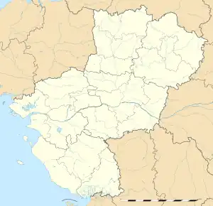 Saint-Berthevin-la-Tannière | |
| Coordinates: 48°24′06″N 0°56′43″W / 48.4017°N 0.9453°W | |
| Country | France |
| Region | Pays de la Loire |
| Department | Mayenne |
| Arrondissement | Mayenne |
| Canton | Gorron |
| Intercommunality | Bocage Mayennais |
| Government | |
| • Mayor (2020–2026) | Léonce Lagoutte[1] |
| Area 1 | 17.64 km2 (6.81 sq mi) |
| Population | 296 |
| • Density | 17/km2 (43/sq mi) |
| Time zone | UTC+01:00 (CET) |
| • Summer (DST) | UTC+02:00 (CEST) |
| INSEE/Postal code | 53202 /53220 |
| Elevation | 164–246 m (538–807 ft) (avg. 500 m or 1,600 ft) |
| 1 French Land Register data, which excludes lakes, ponds, glaciers > 1 km2 (0.386 sq mi or 247 acres) and river estuaries. | |
Saint-Berthevin-la-Tannière (French pronunciation: [sɛ̃ bɛʁtəvɛ̃ la tanjɛʁ]) is a commune in the Mayenne department in north-western France.[3]
See also
References
- ↑ "Répertoire national des élus: les maires". data.gouv.fr, Plateforme ouverte des données publiques françaises (in French). 2 December 2020.
- ↑ "Populations légales 2021". The National Institute of Statistics and Economic Studies. 28 December 2023.
- ↑ INSEE commune file
Wikimedia Commons has media related to Saint-Berthevin-la-Tannière.
This article is issued from Wikipedia. The text is licensed under Creative Commons - Attribution - Sharealike. Additional terms may apply for the media files.