Hayti, Pennsylvania | |
|---|---|
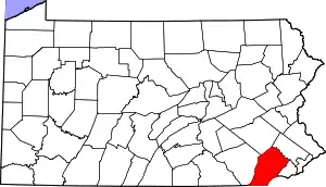
 Location in Chester County and the U.S. state of Pennsylvania | |
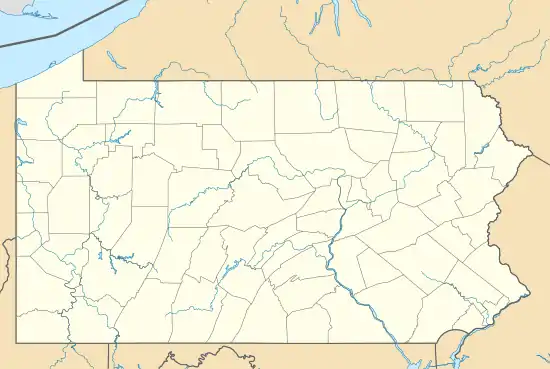 Hayti Location of Hayti in Pennsylvania | |
| Coordinates: 39°58′58″N 75°50′29″W / 39.98278°N 75.84139°W | |
| Country | United States |
| State | Pennsylvania |
| County | Chester |
| Area | |
| • Total | 1.40 sq mi (3.62 km2) |
| • Land | 1.40 sq mi (3.61 km2) |
| • Water | 0.00 sq mi (0.01 km2) |
| Elevation | 502 ft (153 m) |
| Population | |
| • Total | 2,890 |
| • Density | 2,071.68/sq mi (799.70/km2) |
| Time zone | UTC-5 (Eastern (EST)) |
| • Summer (DST) | UTC-4 (EDT) |
| ZIP code | 19320 |
| Area code(s) | 610 and 484 |
| FIPS code | 42-33328 |
| GNIS feature ID | 1176706 |
Hayti is a census designated place and unincorporated community situated in Valley Township in Chester County, Pennsylvania, United States.[4] The CDP was first designated as such in 2020. As of 2020, it has a population of 2,890. Hayti has an estimated elevation of 502 feet (153 m) above sea level.
Demographics
| Census | Pop. | Note | %± |
|---|---|---|---|
| 2020 | 2,890 | — | |
| U.S. Decennial Census[5] | |||
References
- ↑ "ArcGIS REST Services Directory". United States Census Bureau. Retrieved October 12, 2022.
- ↑ "Feature Detail Report for: Hayti". Geographic Names Information System. United States Geological Survey, United States Department of the Interior.
- ↑ "Census Population API". United States Census Bureau. Retrieved October 12, 2022.
- ↑ "Hayti (in Chester County, PA) Populated Place Profile". PA Hometown Locator. Retrieved December 9, 2015.
- ↑ "Census of Population and Housing". Census.gov. Retrieved June 4, 2016.
This article is issued from Wikipedia. The text is licensed under Creative Commons - Attribution - Sharealike. Additional terms may apply for the media files.