Pocopson, Pennsylvania | |
|---|---|
Unincorporated community | |
 Pocopson | |
| Coordinates: 39°54′1″N 75°37′33″W / 39.90028°N 75.62583°W | |
| Country | United States |
| State | Pennsylvania |
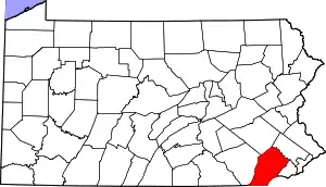
| County | Chester |
| Township | Pocopson |
| Elevation | 180 ft (50 m) |
| Time zone | UTC-5 (Eastern (EST)) |
| • Summer (DST) | UTC-4 (EDT) |
| ZIP code | 19366 |
| Area code(s) | 610 and 484 |
| GNIS feature ID | 1204428[1] |
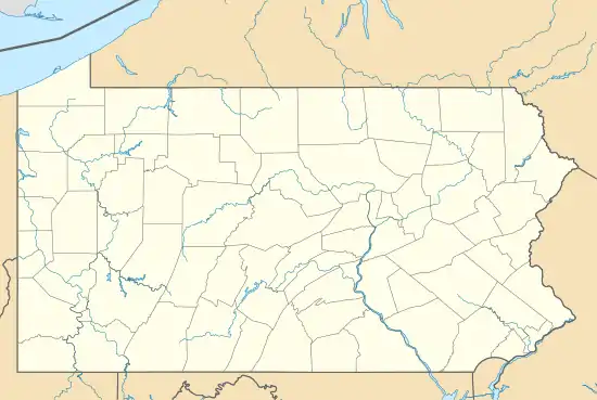
Pocopson is an unincorporated community in Pocopson Township in Chester County, Pennsylvania, United States. Pocopson is located at the intersection of Pennsylvania Route 926 and Pocopson Road.[2]
Former train station
Pocopson was once served by a train station that opened in 1890.[3]
References
- ↑ "Pocopson". Geographic Names Information System. United States Geological Survey, United States Department of the Interior.
- ↑ Chester County, Pennsylvania Highway Map (PDF) (Map). PennDOT. 2012. Archived from the original (PDF) on November 12, 2011. Retrieved August 22, 2013.
- ↑ "Living History: The vanishing train depot".
External links
 Media related to Pocopson, Pennsylvania at Wikimedia Commons
This article is issued from Wikipedia. The text is licensed under Creative Commons - Attribution - Sharealike. Additional terms may apply for the media files.