40°55′N 43°49′E / 40.917°N 43.817°E
Hoghmik
Հողմիկ | |
|---|---|
 Hoghmik 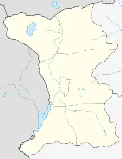 Hoghmik | |
| Coordinates: 40°55′N 43°49′E / 40.917°N 43.817°E | |
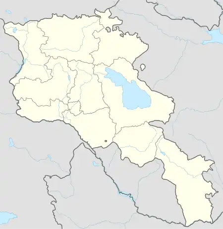
| Country | Armenia |
| Province | Shirak |
| Municipality | Amasia |
| Population (2001) | |
| • Total | 509 |
| Time zone | UTC+4 |
| • Summer (DST) | UTC+5 |
Hoghmik (Armenian: Հողմիկ) is a village in the Amasia Municipality of the Shirak Province of Armenia.
Demographics
The population of the village since 1831 is as follows:[1]
| Year | Population |
|---|---|
| 1831 | 175 |
| 1897 | 762 |
| 1926 | 462 |
| 1939 | 736 |
| 1959 | 324 |
| 1970 | 417 |
| 1979 | 425 |
| 1989 | 379 |
| 2001 | 509 |
| 2004 | 495 |
References
- ↑ Հայաստանի Հանրապետության բնակավայրերի բառարան [Republic of Armenia settlements dictionary] (PDF) (in Armenian). Yerevan: Cadastre Committee of the Republic of Armenia. 2008. Archived from the original (PDF) on 11 March 2018.
- Report of the results of the 2001 Armenian Census, Statistical Committee of Armenia
- Kiesling, Brady (June 2000). Rediscovering Armenia: An Archaeological/Touristic Gazetteer and Map Set for the Historical Monuments of Armenia (PDF). Archived (PDF) from the original on 6 November 2021.
Capital: Gyumri | ||
| Urban settlements | 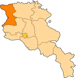 | |
| Akhuryan Municipality | ||
| Amasia Municipality | ||
| Ani Municipality | ||
| Artik Municipality | ||
| Ashotsk Municipality | ||
This article is issued from Wikipedia. The text is licensed under Creative Commons - Attribution - Sharealike. Additional terms may apply for the media files.