40°40′N 43°55′E / 40.667°N 43.917°E
Vardakar
Վարդաքար | |
|---|---|
 Vardakar 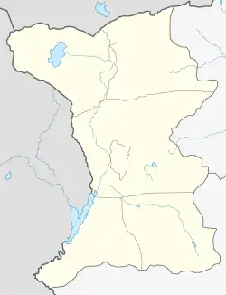 Vardakar | |
| Coordinates: 40°40′N 43°55′E / 40.667°N 43.917°E | |
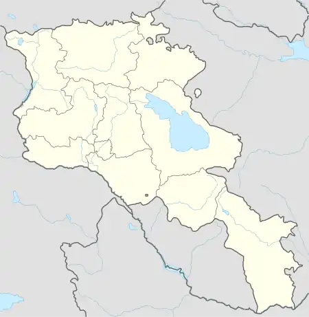
| Country | Armenia |
| Province | Shirak |
| Municipality | Artik |
| Population (2004) | |
| • Total | 643 |
| Time zone | UTC+4 |
| • Summer (DST) | UTC+5 |
Vardakar (Armenian: Վարդաքար) is a village in the Artik Municipality of the Shirak Province of Armenia.
Demographics
The population of the village since 1831 is as follows:[1]
| Year | Population |
|---|---|
| 1831 | 201 |
| 1897 | 723 |
| 1926 | 829 |
| 1939 | 789 |
| 1959 | 673 |
| 1970 | 768 |
| 1979 | 612 |
| 1989 | 831 |
| 2001 | 646 |
| 2004 | 643 |
Development programs
Vardakar village became part of COAF-supported villages (Children of Armenia Fund) in 2016.[2] Children of Armenia Fund also renovated village facilities such as Cafeteria and Brushodrome.[3]
The programs implemented include: Debate Clubs, Health and Lifestyle Education, School Nutrition & Brushodromes, Women Health Screenings, Support for Reproductive Health.
See also
References
- ↑ Հայաստանի Հանրապետության բնակավայրերի բառարան [Republic of Armenia settlements dictionary] (PDF) (in Armenian). Yerevan: Cadastre Committee of the Republic of Armenia. 2008. Archived from the original (PDF) on 11 March 2018.
- ↑ Khalatyan, Mariam (February 2016). "Երեխայակենտրոն ծրագրեր Շիրակի մարզում". ShirakPublic TV. Archived from the original on 2021-12-21.
- ↑ "Reviving Rural Communities". coafkids. 2019.
- Vardakar at GEOnet Names Server
- Report of the results of the 2001 Armenian Census, Statistical Committee of Armenia
Capital: Gyumri | ||
| Urban settlements | 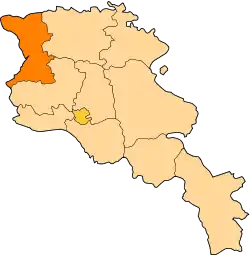 | |
| Akhuryan Municipality | ||
| Amasia Municipality | ||
| Ani Municipality | ||
| Artik Municipality | ||
| Ashotsk Municipality | ||
This article is issued from Wikipedia. The text is licensed under Creative Commons - Attribution - Sharealike. Additional terms may apply for the media files.