| Hurdalssjøen | |
|---|---|
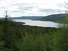 | |
 Hurdalssjøen | |
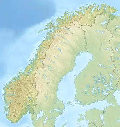
| Location | Hurdal, Eidsvoll, Nannestad |
| Coordinates | 60°18′36″N 11°6′16″E / 60.31000°N 11.10444°E / 60.31000; 11.10444 |
| Type | glacier lake, moraine-dammed |
| Primary inflows | Gjødingelva, Hegga, Horna, Hurdalselva and Steinsjøelva |
| Primary outflows | Andelva |
| Catchment area | 579.61 km2 (223.79 sq mi) |
| Basin countries | Norway |
| Max. length | 19.2 km (11.9 mi) |
| Max. width | 3 km (1.9 mi) |
| Surface area | 33.16 km2 (12.80 sq mi) |
| Average depth | 26 m (85 ft) |
| Max. depth | 59 m (194 ft) |
| Water volume | 0.862 km3 (0.207 cu mi) |
| Shore length1 | 45 km (28 mi) |
| Surface elevation | 176 m (577 ft) |
| References | NVE |
| 1 Shore length is not a well-defined measure. | |
Hurdalssjøen is a lake in the municipalities of Hurdal, Eidsvoll and Nannestad in Viken county, Norway.
See also
This article is issued from Wikipedia. The text is licensed under Creative Commons - Attribution - Sharealike. Additional terms may apply for the media files.