| Storgollomsvatnet (Norwegian) Golmesjaevrieh (Southern Sami) | |
|---|---|
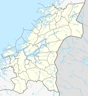 Storgollomsvatnet Location of the lake Show map of Trøndelag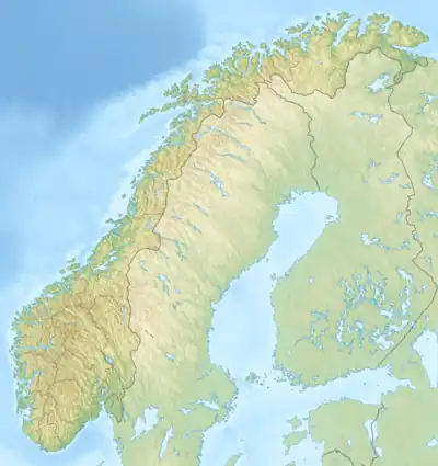 Storgollomsvatnet Storgollomsvatnet (Norway) Show map of Norway | |
| Location | Røyrvik, Trøndelag |
| Coordinates | 64°58′14″N 13°40′18″E / 64.9706°N 13.6716°E / 64.9706; 13.6716 |
| Primary outflows | Namsvatnet |
| Basin countries | Norway |
| Max. length | 3.5 kilometres (2.2 mi) |
| Max. width | 3 kilometres (1.9 mi) |
| Surface area | 5.3 km2 (2.0 sq mi) |
| Shore length1 | 30 kilometres (19 mi) |
| Surface elevation | 473 metres (1,552 ft) |
| References | NVE |
| 1 Shore length is not a well-defined measure. | |
Storgollomsvatnet (Norwegian) or Golmesjaevrieh (Southern Sami) is a lake in the municipality of Røyrvik in Trøndelag county, Norway. The 5.3-square-kilometre (2.0 sq mi) lake lies just south of the large lake Namsvatnet into which it drains.[1]
See also
References
- ↑ "Storgollomsvatnet" (in Norwegian). yr.no. Retrieved 2011-09-13.
This article is issued from Wikipedia. The text is licensed under Creative Commons - Attribution - Sharealike. Additional terms may apply for the media files.