Kang Airport | |||||||||||
|---|---|---|---|---|---|---|---|---|---|---|---|
| Summary | |||||||||||
| Location | Kang, Botswana | ||||||||||
| Elevation AMSL | 1,073 m / 3,520 ft | ||||||||||
| Coordinates | 23°40′40″S 22°49′05″E / 23.67778°S 22.81806°E | ||||||||||
| Map | |||||||||||
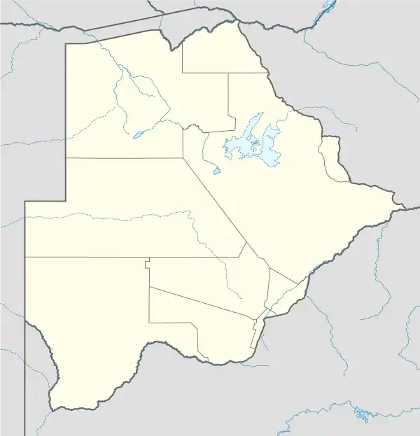 FBKG Location of airport in Botswana | |||||||||||
| Runways | |||||||||||
| |||||||||||
Kang Airport (ICAO: FBKG) is an airport serving the village of Kang, in the Kgalagadi District of Botswana.
See also
References
- ↑ Airport information for Kang Airport at Great Circle Mapper.
- ↑ Google Maps - Kang
- ↑ "Kang VOR (KGV) @ OurAirports". ourairports.com. Retrieved 20 August 2018.
External links
- OpenStreetMap - Kang
- OurAirports - Kang
- FalllingRain - Kang
- Accident history for Kang Airport at Aviation Safety Network
This article is issued from Wikipedia. The text is licensed under Creative Commons - Attribution - Sharealike. Additional terms may apply for the media files.