Nata Airport | |||||||||||
|---|---|---|---|---|---|---|---|---|---|---|---|
| Summary | |||||||||||
| Serves | Nata, Botswana | ||||||||||
| Elevation AMSL | 820 m / 2,690 ft | ||||||||||
| Coordinates | 20°12′58″S 26°09′30″E / 20.21611°S 26.15833°E | ||||||||||
| Map | |||||||||||
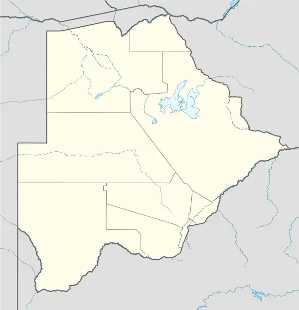 FBNT Location of airport in Botswana | |||||||||||
| Runways | |||||||||||
| |||||||||||
Nata Airport (ICAO: FBNT) is an airport serving the village of Nata in the Central District of Botswana. The runway is 2 kilometres (1.2 mi) west of the town.
See also
References
- ↑ Airport information for Nata Airport at Great Circle Mapper.
- ↑ Google Maps - Nata
External links
- OpenStreetMap - Nata
- OurAirports - Nata
- Fallingrain - Nata Airport
- Accident history for Nata Airport at Aviation Safety Network
This article is issued from Wikipedia. The text is licensed under Creative Commons - Attribution - Sharealike. Additional terms may apply for the media files.