Kourouba | |
|---|---|
Commune and village | |
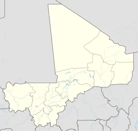 Kourouba Location in Mali | |
| Coordinates: 12°0′31″N 8°17′29″W / 12.00861°N 8.29139°W | |
| Country | |
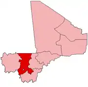
| Region | Koulikoro Region |
| Cercle | Kati Cercle |
| Area | |
| • Total | 245 km2 (95 sq mi) |
| Elevation | 360 m (1,180 ft) |
| Population (2009 census)[1] | |
| • Total | 8,248 |
| • Density | 34/km2 (87/sq mi) |
| Time zone | UTC+0 (GMT) |
Kourouba is a village and rural commune in the Cercle of Kati in the Koulikoro Region of south-western Mali. The commune covers an area of 245 km2 and includes 5 villages.[2] In the 2009 census the commune had a population of 8,248.[1] The village of Kourouba is on the right bank of the Sankarani River just upstream of where it joins the Niger River.
References
- 1 2 Resultats Provisoires RGPH 2009 (Région de Koulikoro) (PDF) (in French), République de Mali: Institut National de la Statistique, archived from the original (PDF) on 2011-07-22, retrieved 2012-06-10.
- ↑ Communes de la Région de Koulikoro (PDF) (in French), Ministère de l’administration territoriale et des collectivités locales, République du Mali, archived from the original (PDF) on 2012-03-09.
External links
- Plan de Sécurité Alimentaire Commune Rurale de Kourouba 2008-2012 (PDF) (in French), Commissariat à la Sécurité Alimentaire, République du Mali, USAID-Mali, 2008, archived from the original (PDF) on 2012-09-17, retrieved 2012-06-10.
This article is issued from Wikipedia. The text is licensed under Creative Commons - Attribution - Sharealike. Additional terms may apply for the media files.