Mountougoula | |
|---|---|
Commune and village | |
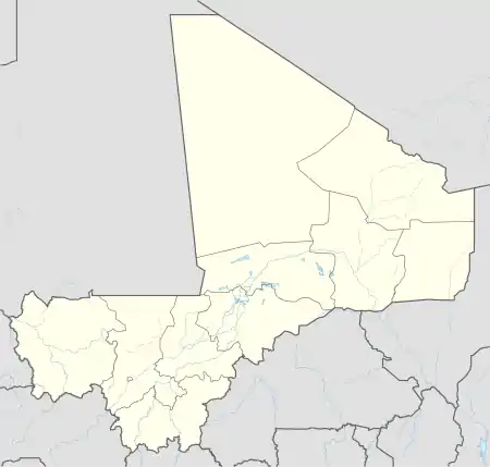 Mountougoula Location in Mali | |
| Coordinates: 12°31′47″N 7°49′20″W / 12.52972°N 7.82222°W | |
| Country | |
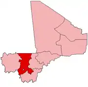
| Region | Koulikoro Region |
| Cercle | Kati Cercle |
| Area | |
| • Total | 369 km2 (142 sq mi) |
| Population (2009 census)[2] | |
| • Total | 11,814 |
| • Density | 32/km2 (83/sq mi) |
| Time zone | UTC+0 (GMT) |
Mountougoula is a village and rural commune in the Cercle of Kati in the Koulikoro Region of south-western Mali. The commune covers an area of 369 square kilometers and includes 16 villages. In the 2009 census the commune had a population of 11,814.[2] The village of Mountougoula lies 30 km southeast of Bamako, the Malian capital.
References
- ↑ Common and Fundamental Operational Datasets Registry: Mali, United Nations Office for the Coordination of Humanitarian Affairs, archived from the original on 2012-01-06, retrieved 2012-06-25. (Originally from the Direction Nationale des Collectivités Territoriales, Mali) commune_mali.zip
- 1 2 Resultats Recensement Général de la Population et de l’Habitat 2009 (Région de Koulikoro) (PDF) (in French), République de Mali: Institut National de la Statistique.
External links
- Plan de Sécurité Alimentaire Commune Rurale de Mountougoula 2008-2012 (PDF) (in French), Commissariat à la Sécurité Alimentaire, République du Mali, USAID-Mali, 2008, archived from the original (PDF) on 2012-09-11, retrieved 2012-06-25.
This article is issued from Wikipedia. The text is licensed under Creative Commons - Attribution - Sharealike. Additional terms may apply for the media files.