La Marre | |
|---|---|
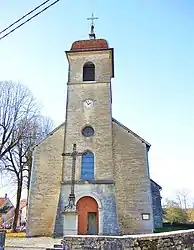 The church in La Marre | |
Location of La Marre | |
 La Marre 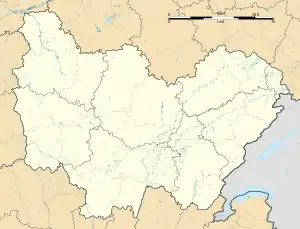 La Marre | |
| Coordinates: 46°44′08″N 5°41′58″E / 46.7356°N 5.6994°E | |
| Country | France |
| Region | Bourgogne-Franche-Comté |
| Department | Jura |
| Arrondissement | Lons-le-Saunier |
| Canton | Poligny |
| Government | |
| • Mayor (2020–2026) | Joël Paget[1] |
| Area 1 | 10.63 km2 (4.10 sq mi) |
| Population | 355 |
| • Density | 33/km2 (86/sq mi) |
| Time zone | UTC+01:00 (CET) |
| • Summer (DST) | UTC+02:00 (CEST) |
| INSEE/Postal code | 39317 /39210 |
| Elevation | 510–576 m (1,673–1,890 ft) |
| 1 French Land Register data, which excludes lakes, ponds, glaciers > 1 km2 (0.386 sq mi or 247 acres) and river estuaries. | |
La Marre (French pronunciation: [la maʁ]) is a commune in the Jura department in Bourgogne-Franche-Comté in eastern France.[3]
Population
| Year | Pop. | ±% p.a. |
|---|---|---|
| 1968 | 270 | — |
| 1975 | 253 | −0.92% |
| 1982 | 234 | −1.11% |
| 1990 | 249 | +0.78% |
| 1999 | 308 | +2.39% |
| 2009 | 333 | +0.78% |
| 2014 | 332 | −0.06% |
| 2020 | 355 | +1.12% |
| Source: INSEE[4] | ||
See also
References
- ↑ "Répertoire national des élus: les maires". data.gouv.fr, Plateforme ouverte des données publiques françaises (in French). 9 August 2021.
- ↑ "Populations légales 2021". The National Institute of Statistics and Economic Studies. 28 December 2023.
- ↑ INSEE commune file
- ↑ Population en historique depuis 1968, INSEE
Wikimedia Commons has media related to La Marre.
This article is issued from Wikipedia. The text is licensed under Creative Commons - Attribution - Sharealike. Additional terms may apply for the media files.