Loco Hills, New Mexico | |
|---|---|
 Loco Hills | |
| Coordinates: 32°49′11″N 103°58′42″W / 32.81972°N 103.97833°W | |
| Country | United States |
| State | New Mexico |
| County | Eddy |
| Area | |
| • Total | 0.86 sq mi (2.22 km2) |
| • Land | 0.86 sq mi (2.22 km2) |
| • Water | 0.00 sq mi (0.00 km2) |
| Elevation | 3,652 ft (1,113 m) |
| Population | |
| • Total | 68 |
| • Density | 79.25/sq mi (30.62/km2) |
| Time zone | UTC-7 (Mountain (MST)) |
| • Summer (DST) | UTC-6 (MDT) |
| ZIP code | 88255 |
| Area code | 575 |
| GNIS feature ID | 2584143[2] |
Loco Hills is a census-designated place and unincorporated community in Eddy County, New Mexico, United States. Its population was 126 as of the 2010 census. Loco Hills has a post office with ZIP code 88255.[4][5] U.S. Route 82 passes through the community.
It is within the Artesia Public Schools school district.[6] Artesia High School is the school district's sole comprehensive high school.
Demographics
| Census | Pop. | Note | %± |
|---|---|---|---|
| 2020 | 68 | — | |
| U.S. Decennial Census[7][3] | |||
References
- ↑ "ArcGIS REST Services Directory". United States Census Bureau. Retrieved October 12, 2022.
- 1 2 U.S. Geological Survey Geographic Names Information System: Loco Hills, New Mexico
- 1 2 "Census Population API". United States Census Bureau. Retrieved October 12, 2022.
- ↑ United States Postal Service (2012). "USPS - Look Up a ZIP Code". Retrieved February 15, 2012.
- ↑ "Postmaster Finder - Post Offices by ZIP Code". United States Postal Service. Retrieved March 4, 2014.
- ↑ "2020 CENSUS - SCHOOL DISTRICT REFERENCE MAP: Eddy County, NM" (PDF). U.S. Census Bureau. Retrieved June 28, 2022. - Text list
- ↑ "Census of Population and Housing". Census.gov. Retrieved June 4, 2016.
Municipalities and communities of Eddy County, New Mexico, United States | ||
|---|---|---|
| Cities | 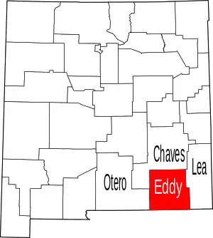 Map of New Mexico highlighting Eddy County | |
| Villages | ||
| CDPs | ||
| Unincorporated communities | ||
This article is issued from Wikipedia. The text is licensed under Creative Commons - Attribution - Sharealike. Additional terms may apply for the media files.