Mayor PNP Nancy Flores Paucar Airport Manuel Prado Ugarteche Airport | |||||||||||
|---|---|---|---|---|---|---|---|---|---|---|---|
| Summary | |||||||||||
| Airport type | Public | ||||||||||
| Owner | CORPAC | ||||||||||
| Location | Mazamari, Peru | ||||||||||
| Elevation AMSL | 2,180 ft / 664 m | ||||||||||
| Coordinates | 11°19′30″S 74°32′10″W / 11.32500°S 74.53611°W | ||||||||||
| Map | |||||||||||
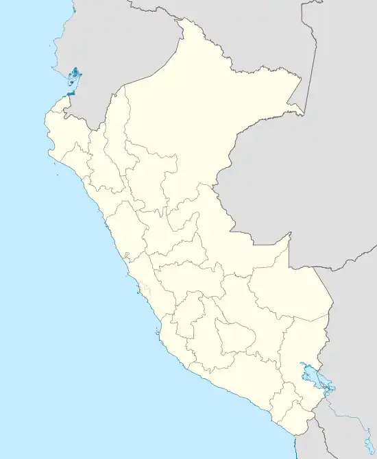 MZA Location of the airport in Peru | |||||||||||
| Runways | |||||||||||
| |||||||||||
Mayor PNP Nancy Flores Paucar Airport (IATA: MZA, ICAO: SPMF) is an airport serving the municipality of Mazamari in Junin Region, Peru. The airport was formerly named Manuel Prado Ugarteche Airport.
Airlines and destinations
| Airlines | Destinations |
|---|---|
| Atsa Airlines | Lima |
See also
References
- ↑ SkyVector Aeronautical Charts Nancy Flore Airport
- ↑ Google Maps - Mazamari
External links
- OpenStreetMap - Mazamari
- Airport information for Mayor Pnp Nancy Flore Airport at Great Circle Mapper.
- Accident history for Mayor Pnp Nancy Flore Airport at Aviation Safety Network
- Mazamari municipality Spanish
- Aeropuerto de Mazamari Spanish
This article is issued from Wikipedia. The text is licensed under Creative Commons - Attribution - Sharealike. Additional terms may apply for the media files.